
This multi-use, steep trail passes through forests and meadows, with views of the surrounding Diamond Head, Miller and Navaho Peaks, and the Enchantments, ultimately connecting with the Tronsen Ridge Trail. From here, access is also possible to Table Mountain.
As you hike, notice the charred trunks of some of the trees along the trail. These forested areas experienced fires in the recent past. The burned areas are of different time periods and show different stages of recovery.
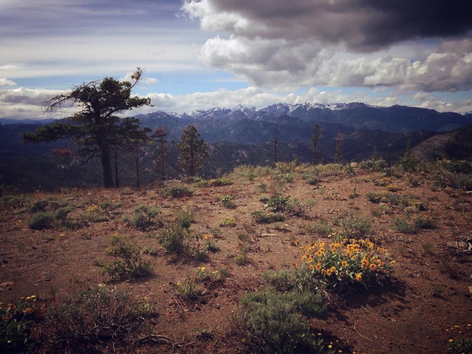
Once you reach the Mount Lillian Trail (1.7 miles from the trailhead), take the trail heading north for 0.4 mile and then Upper Naneum Trail (4W312) for one mile to spectacular views of the Stuart range, Glacier Peak, and of course, Mount Rainier.
Tronsen Meadow

-
 Length
- 3.4 miles, roundtrip
-
 Elevation Gain
- 1,168 feet
-
 Highest Point
- 5,536 feet
Parking Pass/Entry Fee
Northwest Forest Pass
This multi-use, steep trail passes through forests and meadows, with views of the surrounding Diamond Head, Miller and Navaho Peaks, and the Enchantments, ultimately connecting with the Tronsen Ridge Trail. From here, access is also possible to Table Mountain.
Continue reading
Hiking Tronsen Meadow
Tronsen Meadow
Map & Directions
 Trailhead
Before You Go
Parking Pass/Entry Fee
Northwest Forest PassWTA Pro Tip: Save a copy of our directions before you leave! App-based driving directions aren't always accurate and data connections may be unreliable as you drive to the trailhead.


