
The Turkey Creek Trail starts 1.5 miles up from the Panjab trailhead and runs four miles to the Teepee trailhead. The 8 mile roundtrip mileage does not include the 3 mile roundtrip along the Panjab Trail (#3127) to and from the Panjab Trailhead.
Turkey Creek
-
 Length
- 8.0 miles, roundtrip
-
 Elevation Gain
- 2,060 feet
-
 Highest Point
- 5,300 feet
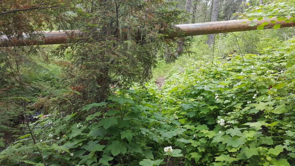
This creekside trail winds through old-growth, connecting the Panjab Trail to the Teepee Trailhead.
Continue reading 
Hiking Turkey Creek

WTA worked here in 2025 and 2024!
Turkey Creek
Map & Directions
Before You Go
Parking Pass/Entry Fee
Northwest Forest PassWTA Pro Tip: Save a copy of our directions before you leave! App-based driving directions aren't always accurate and data connections may be unreliable as you drive to the trailhead.
Getting There
From Highway 12 about 23 miles west of Pomeroy or 13 miles north of Dayton, turn south on the Tucannon River Road. Drive this road for 32 miles to a fork in the road. Take FR 4713 (the right-hand fork) and after 2.8 miles, the Panjab trailhead will be on the left.
From Dayton, Highway 12 becomes W Main St then E Main St. Turn right onto S 4th St which in 1.5mi becomes N Touchet Rd. After 3.5mi (5mi after turning onto 4th), turn left on Hatley Gulch Rd. In 4.4mi, slight left onto Eckler Mountain Rd/Kendall Skyline Road which in 6.5mi becomes FR 4620. In another 2.4mi (so 8.9mi after slight left), turn left to stay on NF 4620 at junction with NF Development Rd 050. In 1.1mi turn right onto Tucannon Road (NF 47). Continue 1.8 miles to a fork in the road, and take the right-hand branch (NF 4713). After 2.8 miles, the Panjab trailhead will be on the left.


