Trails for everyone, forever

Home Go Hiking Hiking Guide Uno Peak

Alert: On Oct. 1 the federal government began a partial shutdown that will impact National Parks, National Wildlife Refuges and U.S. Forest Service lands in Washington. Here's the latest information we have for hikers and campers


Uno Peak

North Cascades > Methow/Sawtooth
Length
5.85 miles, one-way
Elevation Gain
3,007 feet
Highest Point
7,119 feet
Calculated Difficulty About Calculated Difficulty
Hard
The north side of Uno Peak from Miners Basin. Photo by trip reporter Soundwalker. Full-size image
  • Fall foliage
  • Mountain views
  • Ridges/passes
  • Wildflowers/Meadows
  • Wildlife

Parking Pass/Entry Fee

None
Saved to My Backpack

A trail north of Lake Chelan, connecting up to Safety Harbor Creek Trail and Summit Trail. Continue reading

Rating
3.33 out of 5

(3 votes) Log in to rate

Hiking Uno Peak

A trail north of Lake Chelan, connecting up to Safety Harbor Creek Trail and Summit Trail.

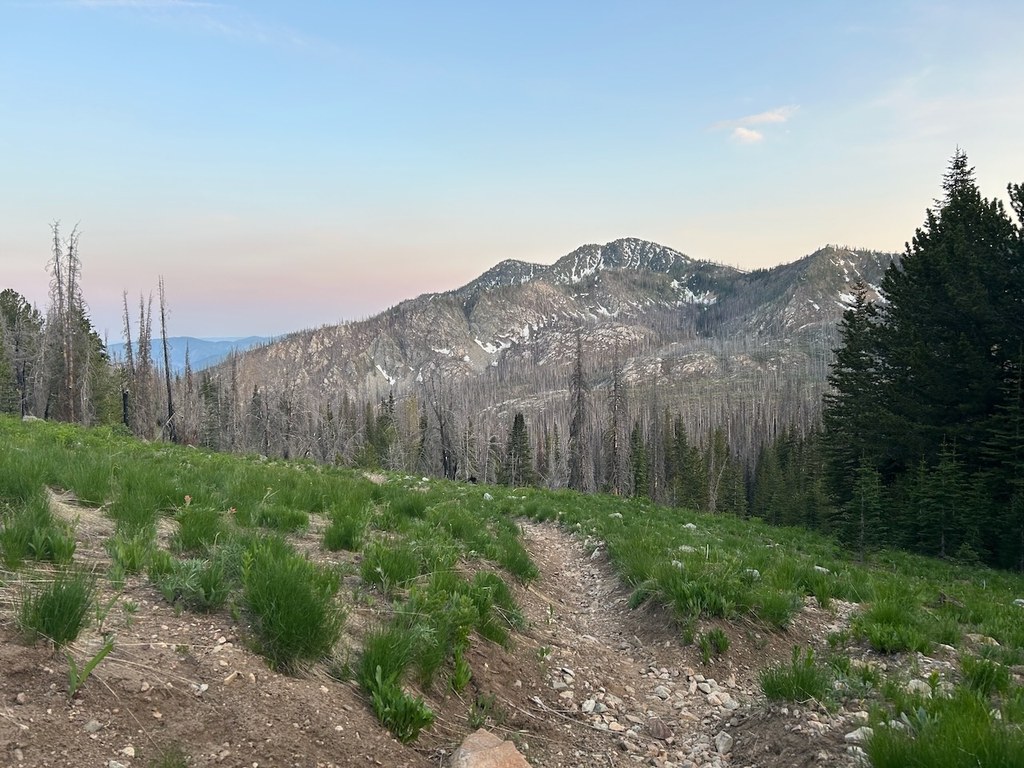
The Uno Peak Trail was greatly impacted by the 2017 Union Peak Fire with downed trees and washouts.

This area is frequented by bikers and motorcyclists.

Uno Peak

Map & Directions

Before You Go

Parking Pass/Entry Fee

None

WTA Pro Tip: Save a copy of our directions before you leave! App-based driving directions aren't always accurate and data connections may be unreliable as you drive to the trailhead.

More Hike Details

Trailhead

North Cascades > Methow/Sawtooth

Uno Peak (#1260)

Wenatchee National Forest, Methow Ranger District

You can improve or add to this guidebook entry!

Uno Peak

4 Trip Reports

Hiked here recently?

Submit a trip report!
 
Trip Reports