Trails for everyone, forever

Home Go Hiking Hiking Guide West Access Trail
WTA is a nonprofit that needs you

We're just as excited as you to get the summer hiking season started. We're psyched our website, app and work for trails help you get outside.

But we're a nonprofit that runs on donations from regular people. If everyone who visited this site this holiday weekend donated $9/month, it would fully fund our work for the next 2 years. Time spent outdoors is priceless, but every donation large or small helps us support those experiences for everyone. Thank you and happy hiking!


Please take 2 minS to chip in $9

link

West Access Trail

Issaquah Alps > Squak Mountain
47.5143, -122.0770 Map & Directions
Length
1.1 miles, roundtrip
Elevation Gain
800 feet
Highest Point
1,340 feet
Calculated Difficulty About Calculated Difficulty
Easy/Moderate
Saved to My Backpack

This is the western approach to Squak Mountain. Here, you'll have access to the Coal Mine Trail, Bullitt Fireplace Trail, and Chybinski Loop Trail. Continue reading

  • Mountain views
  • Wildlife
  • Good for kids
  • Dogs allowed on leash

Parking Pass/Entry Fee

None
Rating
2.50 out of 5

(6 votes) Log in to rate

Hiking West Access Trail

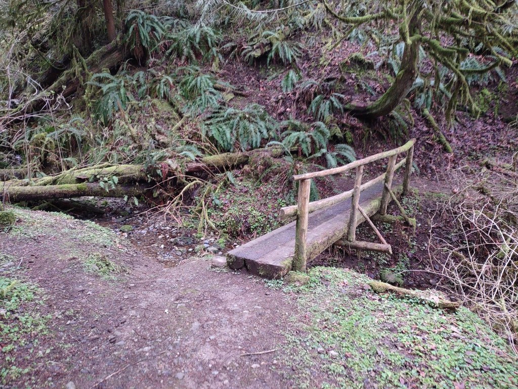
The western approach to Squak Mountain provides great access to a number of loop trails around the upper reaches of Squak Mountain, including direct access to the East Side Trail and May Valley Loop Trail from the Squak Mountain State Park Trailhead.

Parking here is very limited, so consider parking at the Wilderness Peak Connector Trailhead 100 yards up the road.

West Access Trail

Map & Directions

Trailhead
Co-ordinates: 47.5143, -122.0770 Open in Google Maps

Before You Go

See weather forecast

Parking Pass/Entry Fee

None

WTA Pro Tip: Save a copy of our directions before you leave! App-based driving directions aren't always accurate and data connections may be unreliable as you drive to the trailhead.

Getting There

The trailhead is about a half-mile north of the Wilderness Creek Trail for Cougar Mountain on SR 900, and 100 yards north of the Wilderness Creek Connector Trail on SR 900.

More Hike Details

Trailhead

Issaquah Alps > Squak Mountain

West Access (#SQUAK-W1)

Washington State Parks

Guidebooks & Maps

National Geographic Issaquah Alps Mount Si 824

Squak Mountain Trails Map

Green Trails Map 203S

You can improve or add to this guidebook entry!

West Access Trail

46 Trip Reports

Hiked here recently?

Submit a trip report!
 
Trip Reports