

Most hikers make the top of Windy Peak their objective. For hikers looking for multiday roaming, from the top of the Windy Creek Trail, they can continue north on the Windy Peak Trail that leads to Windy Lake, Sunny Pass and then on the Boundary Trail to Horseshoe Basin and beyond.
At the trailhead, the trailhead sign has a pointer to the Windy Creek Trail, which starts about 20 yards to the northeast, going north up a steep sandy hill. This provides a shallower glimpse of how this trail finishes — steep and sandy with a climb gradient of 1500 feet/mile.
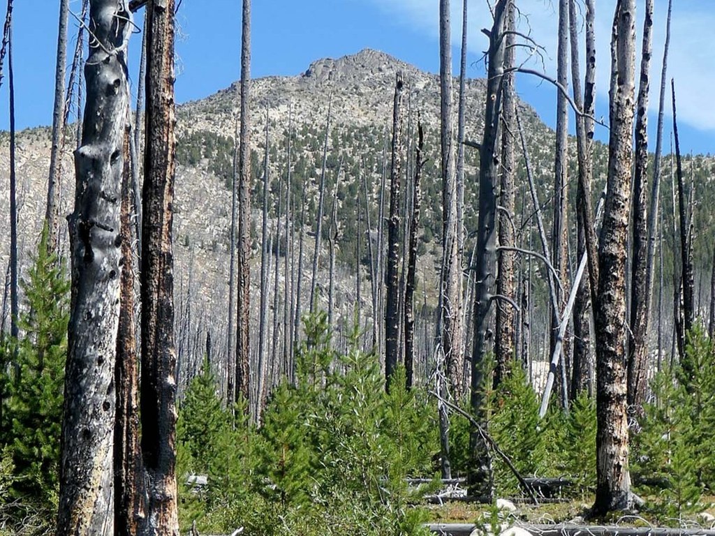
After the initial 0.2-mile climb, the trail shallows out to an average climb gradient of 150 feet/mile for 0.6 mile to the first crossing of Windy Creek. The crossing is a log walk in early summer and a rock hop in late summer. In places along the way, the young pines form a wall 10-15 feet tall on both sides of the trail. In other intensely burned areas, the silver forest is all that remains.
The next 1.2 miles continue through burned areas and pass pockets of trees that survived the fire. At the end, there is a flat spot above the trail for a small camp, and water access below the trail.
In the next 1.2 miles, the trail is steeper as it parallels Windy Creek with lush vegetation on both sides of the creek. Consistent with the vegetation, there are flowers in early summer, and signs of deer, moose and bear. At the end, the trail crosses Windy Creek on a rock hop.
In 0.4 mile, the trail crosses Windy Creek for the last time.
The next 0.5 mile is a climb up the rib to the north, reaching a level area with a large dry campsite and a view of Windy Peak. About 0.3 mile up the trail is a small spring.
After passing the spring, the trail steepens even more for the somewhat sandy final 0.4-mile climb of 600 feet through a subalpine white pine forest to the junction with the Windy Peak Trail.
Be sure to take in the views, either from some rocks around the junction, or even better, the top of Windy Peak!
WTA Pro Tip: This is a high-elevation, steep trail with a southern exposure and minimal shade. In summer, adequate hydration is key to a successful hike. Windy Creek usually has water through August.
Note: As of 2025, most published maps incorrectly show the southern end of the Windy Creek Trail starting from the Cathedral Driveway Trail #510.1, about 0.5 mile west of the trailhead.
 Trailhead


