

From the Iron Gate trailhead, start north on the Boundary Trail. Early breaks in the tree cover will give you a taste of some of the spectacular scenery ahead. Keep an eye out for Horseshoe Mountain and Pick Peak to the north, and Windy Peak to the northwest.
This loop will take you between the former and over the latter in the next 14 miles. Continue straight through a four-way intersection of the Boundary Trail and Clutch and Deer Park trails. As you observe the surrounding landscape, take note of the natural recovery of the ecosystem after the Tripod fire of 2006. From this point forward, the entire loop fell within that fire’s perimeter.
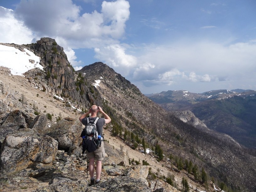
Follow the Boundary Trail to Sunny Pass, where you will then head west on the Windy Peak Trail. From the pass, you will enjoy views of Rock Mountain and Armstrong Mountain to the north, where the Pacific Northwest National Scenic Trail passes through on its way from the Rockies to the Pacific coast. Continue southwest on Windy Peak Trail staying to the left at the next two intersections with Basin Creek and Windy Creek Trails. Not far beyond the second intersection, a spur trail to the summit of Windy Peak climbs 200 feet for 360 degree views of the Pasayten.
Take great care not to trip on your jaw at the top! Once off the summit, continue south on Windy Peak Trail to Clutch Trail, which you may remember from the beginning of the hike. Take the Clutch Creek Trail east to complete the loop at the first junction that you crossed, then head south on the Boundary Trail, back to the parking area.
 Trailhead


