

Climb to really excellent views of Rainier, Adams and Mount St. Helens via an exposed ridgeline before traversing east through hillside wildflowers, and ending at junction with the Loowit Trail in the center of the Plains of Abraham.
From the parking lot for Windy Ridge, hike around the closed gate and up a service road. Though gated, the road may still have traffic; scientists and monument staff have access to it, so be aware of the possibility of vehicles.
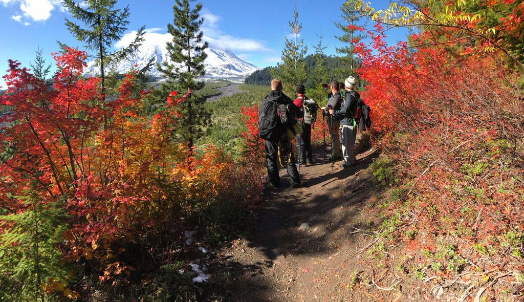
Views start immediately, with Mount Adams on the horizon to your left and St. Helens peeking around the ridge to your right. An unnamed, craggy edifice to the southeast is worth a few photos as well – the red rock and greenery growing atop it is reminiscent of Jurassic Park.
After 1.7 miles of this service road, you’ll arrive at a fork. Signed for the Abraham Trail, take the left-hand ridgetop route. With sheer drop-offs on either side and makeshift stepladders to hold the trail in place, it’s hard to believe that bikes are also allowed here.
Wheeze your way to the top of those ladders, and reward yourself with a breathtaking view of Mounts Rainier and Adams, the Dark Divide, and the Mount Margaret Backcountry. You’re 2.2 miles into your hike, just shy of your highest point on this side of the loop, but these are the best views. Continue uphill and at 4750 feet, the trail appears to fork.
Your route is to the left, descending gradually through a small grove of alder and wrapping around the flanks of a high point. As you hike, admire the flower show: lupine, penstemon and paintbrush – the usual suspects are here on gorgeous display. The trail drops to the Smith Creek drainage. Cross it, and head roughly south towards a junction with the Plains of Abraham.
At this junction, it's possible to wander further onto the flat Plains of Abraham, or on the Loowit Trail towards the mountain. Either way will add mileage to your 4.4 miles so far, but once you've explored as far as you want, turn around and come back the way you came.
 Trailhead


