Yakima Peak

SR 410 (Chinook Pass) is closed between Crystal Mountain Boulevard (12 mi north of summit) and Morse Creek (5 mi east of summit) for the winter season.
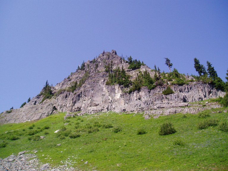

Hiking Yakima Peak
Yakima Peak
Map & Directions
 Trailhead
Before You Go
SR 410 (Chinook Pass) is closed between Crystal Mountain Boulevard (12 mi north of summit) and Morse Creek (5 mi east of summit) for the winter season.
WTA Pro Tip: Save a copy of our directions before you leave! App-based driving directions aren't always accurate and data connections may be unreliable as you drive to the trailhead.


