
Two night backpacking trip took us out to the Dosewallips Road trailhead where parking was packed on Sunday morning of Labor Day weekend and two days later it was completely empty. The long road walk up to the old car campground is pleasant and mostly shaded. We didn't check out the riverside option at the first washout so can't speak to those conditions. The big hill climb before you reach the old campground is mostly exposed. The NPS is removing signs of old- no more notice of the Elkhorn campground (where they do not want people to go), no more picnic tables at the old Dosewallips camp, and we got to see the last of the helicopter flights taking out debris from the ranger station, bathrooms, and shed. But they have installed a new privy and a bike rack! at the old car camp. Bear lockers are still there thankfully. NPS even removed the old kiosk (that had been half buried) so there is no actual sign at the start of the actual Dosewallips trailhead, just look at the back of the campground and you will find it. I will say, the "creepy" factor has been removed along with all of the old car campground components. It is nice to see it looking more like a backcountry camp spot but it was pretty neat to see nature taking over all of the human features.
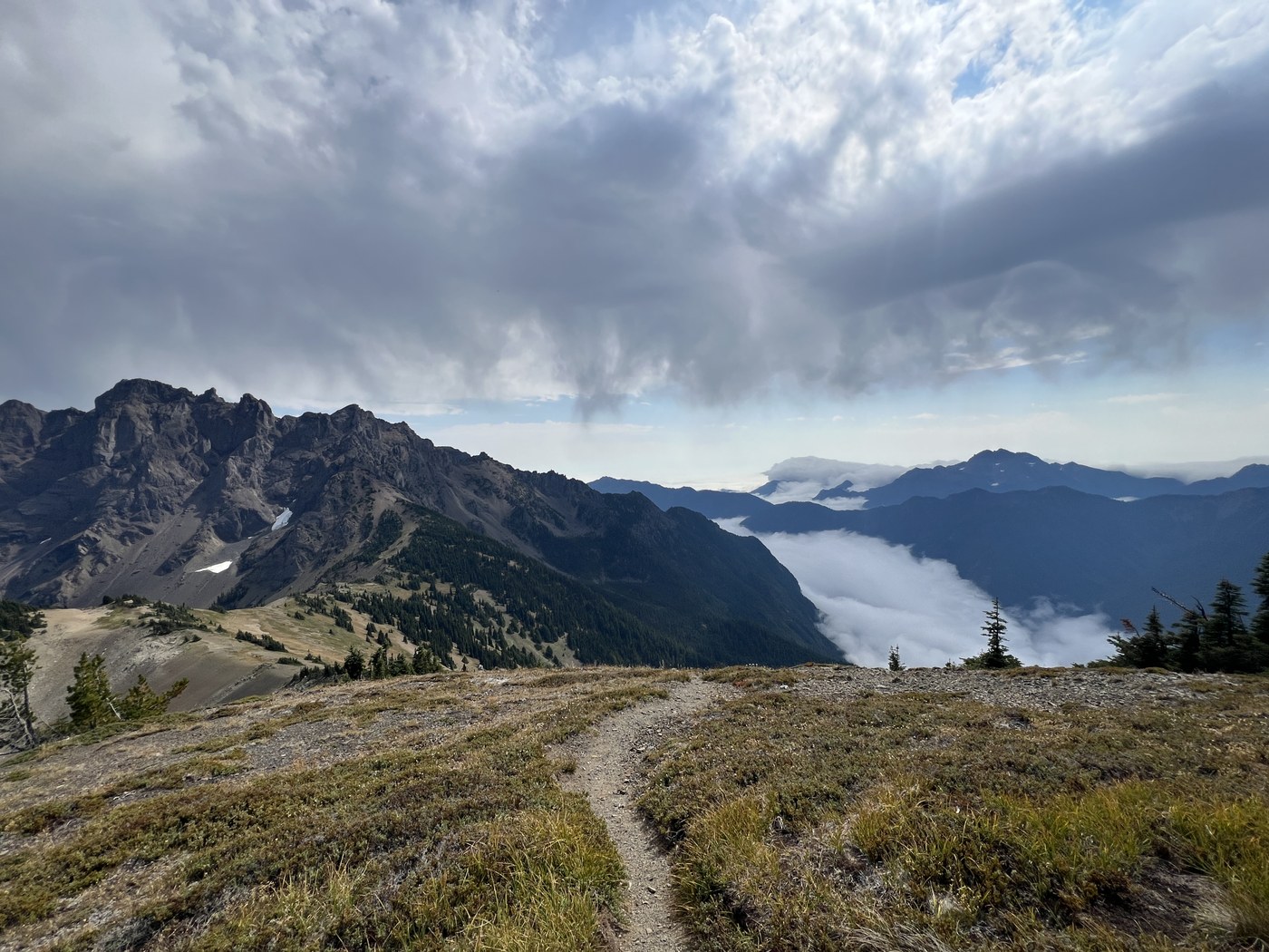
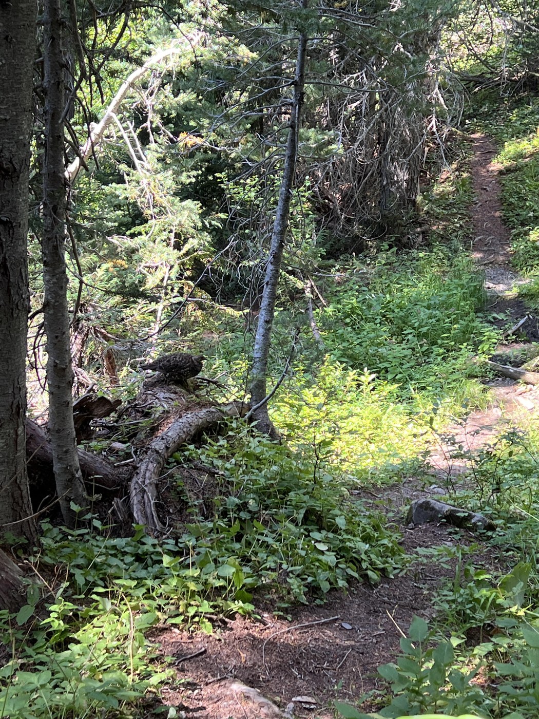
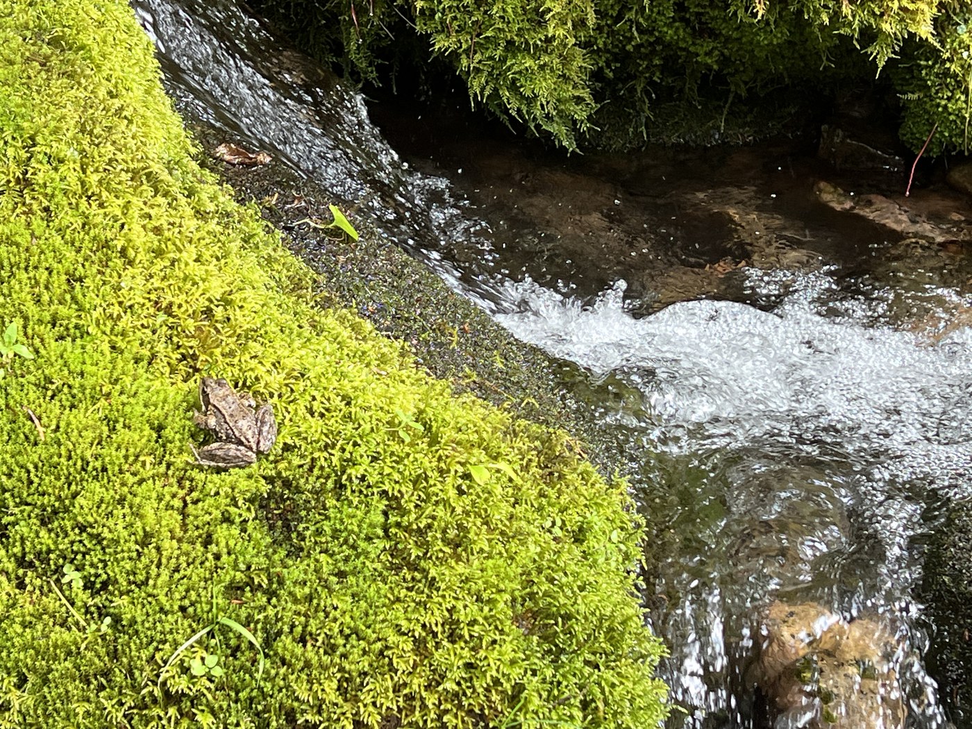
On to Dose Forks is only about 1.5 miles from the car campground and a gentle, shaded grade takes you to the forked sign for either Anderson pass or Hayden pass. We set up camp at Dose Forks along the river. The trek up to Constance Pass is a side trail off of the East Fork trail. According to my Green Trails map, from the start, it should be about 5 miles to Constance Pass. Most of these miles are in the shade and follow switchbacks up with some peekaboo views back across the river valley. I was surprised at how green and lush the salal and Rhodies looked seeing that it is almost the end of summer, but the late rain must have been refreshing. As we closed in on the treeline, we passed at least four running streams, one of which took over the trail and quite a few massive marmot holes. Some re-routing would be nice here but I know the trail maintenance backlog is long. A quick stop for lunch in the shade just shy of Sunnybrook Meadows gave me a peak of the views ahead. Sunnybrook Meadows has a small tarn that was the only water source beyond the four streams and it was chock full of tadpoles. Dry conditions all of the way up to the pass meet you as well as shale/rocky washouts with very little room for error. There is one particularly large shale section that does have a couple of cairns to mark the trail. At the pass, there is no sign to greet you but the 360 degree views provide your reward. I will save the other side for another trip. We did not pass or see a single person on the up and down and had the camp at Dose Forks to ourselves on Monday night. The solitude was quite enjoyable. We did see quite a few grouse on the way back down and managed to scare one (as well as me). They really do act like chickens.
Question- We saw at least three white donut shaped markers up in the trees along the way. Are they some sort of elevation marker? One was located on a fallen tree.

Comments
Did the "donuts" look like this? https://photos.app.goo.gl/okVd756GCkSiEmUH7
Posted by:
ejain on Sep 04, 2024 10:56 AM
Yes! Any insight?
Posted by:
slow n steady on Sep 04, 2024 07:02 PM
It's an insulator for a phone wire, so there must have been a fire lookout or aircraft spotting station up there at one point!
Posted by:
ejain on Sep 04, 2024 07:38 PM
Awesome! Thanks for the information.
Posted by:
slow n steady on Sep 04, 2024 08:06 PM
I've had my eye on Constance Pass for a few years. I'd like to disperse camp somewhere near the pass or on the ridge or a peak near the ridge. Did you notice ant flat spots big enough for a tent?
Posted by:
Nuckers on Sep 19, 2024 05:31 AM
Sunnybrook Meadows would be a solid choice..... there was a section that seemed to be closed off beyond that and I didn't explore much around the pass but it was all pretty exposed.
Posted by:
slow n steady on Sep 22, 2024 08:05 PM
Thanks for the reply. I may approach the pass from the Home Lake side of the pass, grab water from the lake, and see if there's a flat spot large enough for a tent on the ridge to the West somewhere. I'm like to be exposed on ridges. Waking up to the views beats waking up surrounded by trees - to me anyway.
Posted by:
Nuckers on Sep 23, 2024 04:42 AM