I have been waiting for weeks to get to this trail when the forecast wasn’t 95 degrees or hotter. Finally, the temps dropped, so off I went…
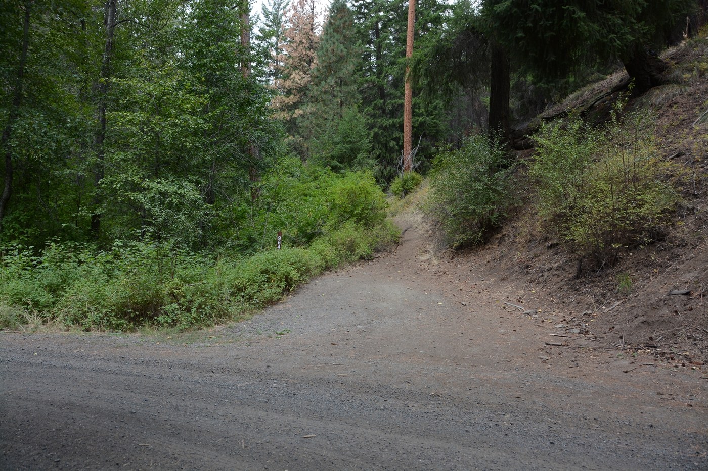
This trailhead was difficult to find. Driving east on SR 410, and looking for “Old River Road” was a bad idea. The third such sign (over a course of several miles) proved to be the right one.
The next hurdle was to recognize the trailhead. Some older Trip Reports show a prominent sign at the trailhead. It is now gone. There is just a small brown sign reading “964” which may be partially hidden by foliage.
And lastly, there is a fork in the trail a short distance from the trailhead. Do you go straight (no Non-Motorized Vehicles) or go right? A small sign that is being gobbled up by the bark of the tree it is affixed to points to the right. Trust it.
Note: I have submitted changes to the Hiking Guide to hopefully eliminate all of these difficulties.
I marked the Road Conditions as “rough but passable”. Actually, the only issue was fresh grading of one area of the dirt road, which made it a little squirrely. That has probably been resolved by now.
The hike was pleasant, with a fairly consistent grade. A moderate number of burnt trees line the route, but there are still plenty of green ones too. Farther along, the terrain opens up, offering interesting rock formations, large pine trees, and in one case both together.
From the summit, you can see good distances in all directions, including down. The rock formation provides a bit of protection from the wind, but the wind wasn’t bad when I was there.


Comments