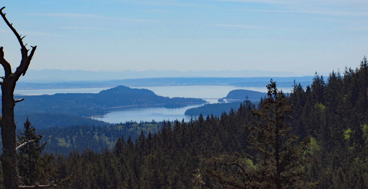
We hiked to the top of Sugarloaf and then drove to the summit of Mount Erie. These two small mountains are on the outskirts of Anacortes and look down on the islands of the Salish Sea. The Sugarloaf trail is extremely steep and rugged. The steepest we, as a couple, have ever climbed. The reward for our efforts : wildflowers and terrific summit views. We found Fawn Lilies , Camas and a dozen other species in bloom.
This rocky mountain is covered in a Douglas Fir forest with some open areas on the south side of the summit. The top elevation is only 1000 feet so there are no deep winter snows to melt. We were thankful for the shade as we climbed. We took a long sunny break at the south side summit where we met some members of our "Happy Hikers" club by chance.
We thank the citizens of Anacortes for free access to ACFL (Anacortes Forest Lands) which encompass these mountains, several lakes, wetlands and many square miles of forest. There is a maze of trails here all documented on free maps.
Bob & Laurie
80+ hikers


Comments