The weather looked good for the weekend, so a friend and I were able to get in a terrific late season backpack with very little snow on the ground and some amazing views.
Total stats: 2 and a half days; 45.1 miles; 17,010 ft gain
Itinerary:
Day 1: Upper Townsend TH -> Mt Townsend Trail 839 to summit and down Dirty Face Ridge -> Little Quilcene Trail #835.
Day 2: Forest road 2870 -> Upper Dungeness Trail #833.2 -> Royal Basin Trail -> off-trail up ridgeline-> North Petunia Peak -> Goat Lake -> Goat Lake Way Trail -> Upper Dungeness Trail #833.2 -> Boulder Shelter
Day 3: Boulder shelter -> Charlia Lakes Way Trail -> Charlia Lakes Peak -> back to Boulder Shelter -> Upper Dungeness Trail -> Marmot Pass -> Buckhorn mountain -> Tubal Cain Trail #840 -> Tull Canyon Trail #847 -> off-trail over ridgeline below Hawk Peak -> off-trail down to Silver Lake -> Silver Lakes Trail #842 -> Mt Townsend Trail #839 -> Upper Townsend TH
Details:
Day 1: The trail was crowded up to to Townsend summit. An insignificant layer of snow along the summit ridge. Great views of the sound and five Washington volcanoes from the summit. This photo from the summit has Baker, Glacier Peak, and Rainier in it.

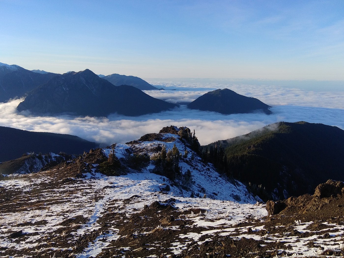
Coming down along dirty face ridge there were seas of clouds filling the surrounding valleys.


Day 2: Completely snow-free except for nearing the summit of North Petunia Peak. The first several miles on the forest road was surprisingly pleasant, through quiet forests, with views over to neighboring ridges.
Once we veered off the Royal Basin trail and up along the ridge there were 5 miles of bushwacking and off trail scrambling. The first few miles were forested and not too bad besides occasional blowdowns and dense patches of trees. Almost to the peak above Goat Lake, we cut down west down into a basin with a neat frozen tarn.

Then we climbed up the icy north face of North Petunia Peak, seen below:

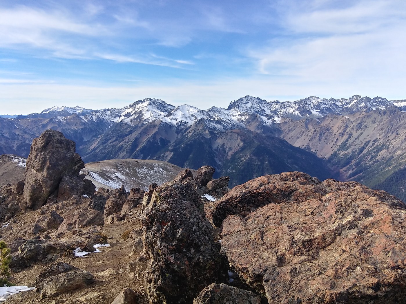
At the top there were spectacular view of Royal Basin and the surrounding mountains.

Then descended a steep screefield to the frozen Goat Lake below.

The Goat Lake trail from the lake down to the bottom of the Dungeness valley was steep but fairly well maintained, with only a few small blowdowns. Crossing the Dungeness was a bit tricky without getting wet. Found a large downed logged to cross on about a half mile up the valley. The Boulder Shelter is well maintained and has plenty of other campsites nearby as well. You can see the shelter in the top of the avalanche clearing:

Day 3: Got going a little before sunrise to hike up to Charlia Lakes. Nice colors on the nearby peaks:

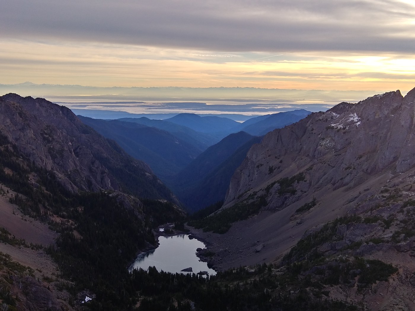
The view from above Charlia was spectacular, with the misty sound opening out behind Charlia lakes.


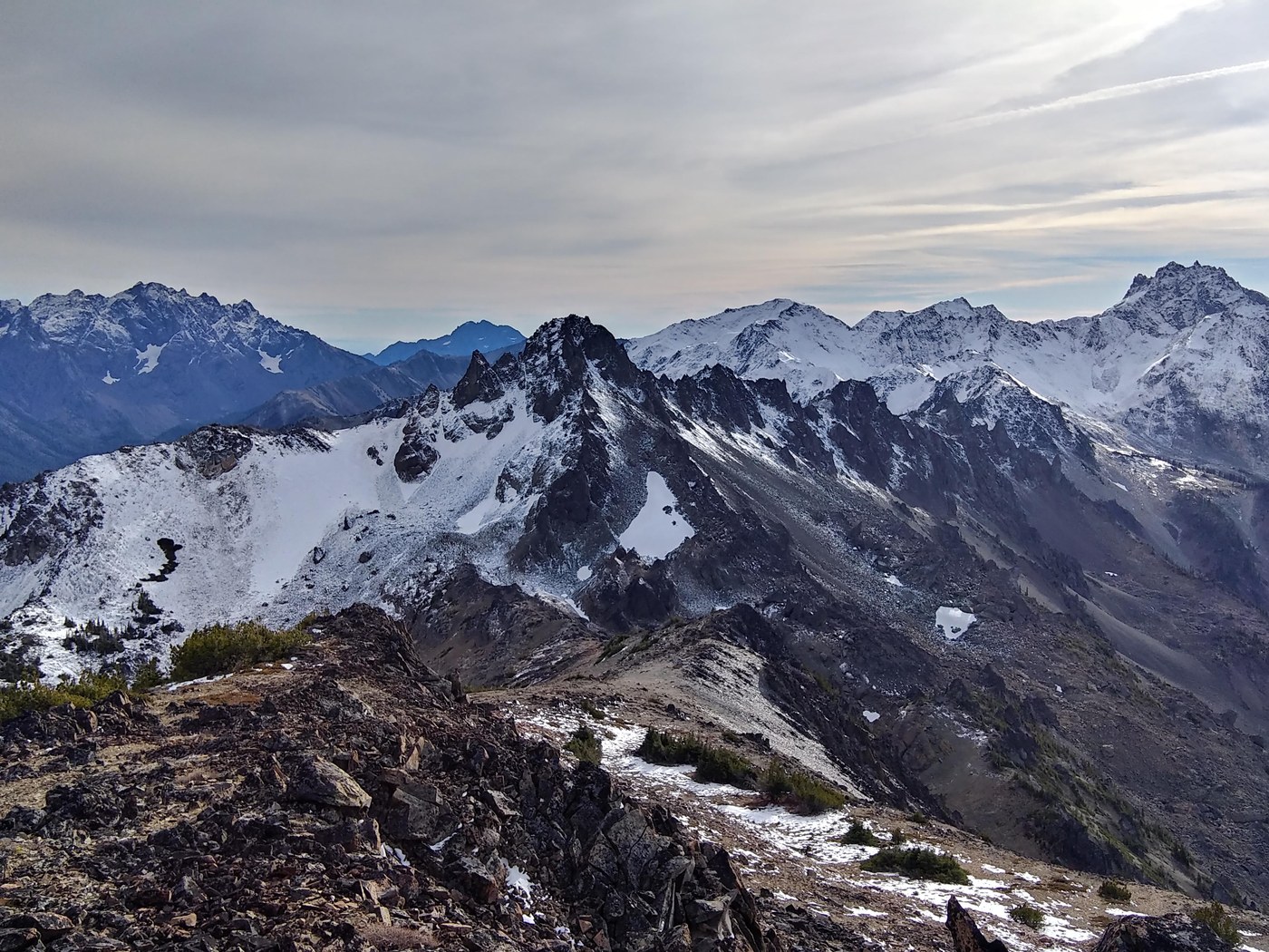
The hike over to Marmot Pass is above the treeline and has great views across the valley.

The ridgeline down from Buckhorn to Tubal Cain has great views of the imposing back side of Buckhorn and the Copper Creek valley.

The Tubal Cain/Tull canyon area is much more crowded, with people coming to check out the mines and plane wreckage.

There were was some cool ice on the streams along the trail:

At the end of the official trail at the end of Tull canyon there is a faint boot path, which disappears at times, up to the ridge below Hawk peak. The descent down to Silver Lakes was one of the more annoying parts, about a mile on frozen scree and snowy, wobbly boulders.

Silver Lake was very frozen. Most of the water sources around here, including Silver Creek were frozen.


Comments
Amazing hike, and great TR!
Posted by:
Eric Katanaboy on Jun 18, 2019 08:36 PM