
There are potholes on the road, but I have experienced much worse. Most vehicles should be able to handle them.
There are a few blowdowns on the trail, most people should be able to navigate them.
About 4 miles in it gets to be a bit more challenging, but still most people should manage. There is a short section where you have the option of walking on a narrow log bridge or in the mud. If you walk in the mud, choose the river side of the log bridge.
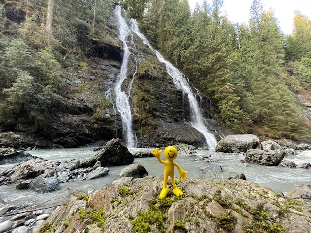
There are two spurs that lead towards the river for better views of the waterfalls. Poles were useful here.
Waterproof boots are recommended because of the mud and several streamlets along the trail.
With the spurs added to the trail it was more like 9.3 miles and 2,480 ft of elevation gain.
Comments