

Take this trail into the heart of the Pasayten Wilderness. With everything from ridge views and peaks to creeks and wildflowers, this trail is a popular route for hikers looking to get a taste of the Pasayten and connect to the Boundary Trail. Follow Andrews Creek as you make your way deep into the stunning backcountry of the Okanogan.
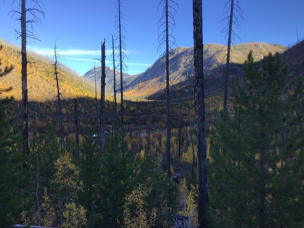
Begin the trek from the Andrews Creek Trailhead and climb gently between two ridges. Following the creek closely, enjoy the sound of the water and use it to cool off on a hot day. The trail travels through a burn site, so there is little cover from the sun to cool you off and it can get quite hot in the summer. After 5.5 miles, continue left at a junction and enjoy more views of Black Lake Ridge on the left.
Make your way down the trail until you reach another junction with the Peepsight Trail. Continue right. Coleman Ridge and Remmel Mountain are on the right. Take in limitless views as you approach Andrews Pass. Andrews Peak is to the left.
Once over the pass, the trail descends out of the burn area and into a meadow through which Spanish Creek runs. There are many pleasant places to camp along this section of trail. Cross the creek, and finish the trail by connecting with the Boundary Trail. Wildflowers are abundant and listen for the sounds of wildlife at night.
This trail is part of WTA's Lost Trails Campaign. Learn more about how we're saving lost trails across the state here.

 Trailhead


