
Climb through dense old-growth forest to a barren cinder plateau that bursts with wildflowers and unobstructed views.
This view-packed day hike begins at the end of Road 83 near Lava Canyon. The trail climbs steadily through one of the remaining stands of old-growth forest on Mount St. Helens. As you gain elevation, wide views taking in Mount Adams and Mount Rainier open up.
The lower portion of the trail to Ape Canyon starts parallel to a wide lahar flow and climbs through one of the only remaining swaths of old-growth forest on Mount St. Helens, this with Douglas-, silver, and noble firs.
After climbing for a few miles, the trail emerges from the forest onto a wide volcanic plain that offers jaw-dropping panoramas in all directions. The glaciated St. Helens resides directly in front of you, with clear views of Mounts Adams and Rainier in the distance.
After a short distance, the trail comes to the precipitous edge of the trail's namesake rock formation, named after a possible Sasquatch sighting in 1924.
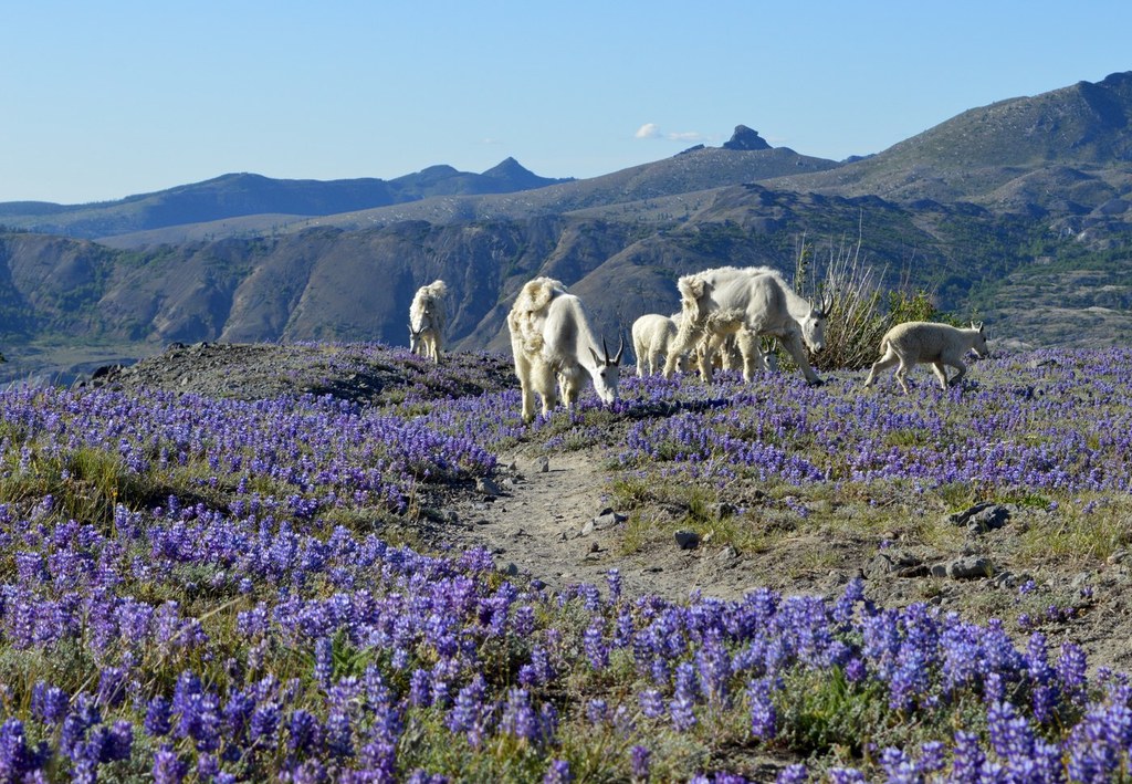
Continue across the plains of light-colored cinders. The trail ends at the Loowit Trail but by wandering north on the Loowit, you can increase your mileage all the way to the Plains of Abraham trail, with huge views of Mount St. Helens eastern flanks, where colorful summer wildflowers dot the barren landscape.
WTA Pro Tip: The Ape Canyon Train is popular with mountain bikers, who like to start at Windy Ridge and ride southward (downhill) across the plains. Be watchful for them, and step aside when you see them approaching.
Ape Canyon

-
 Length
- 11.0 miles, roundtrip
-
 Elevation Gain
- 1,400 feet
-
 Highest Point
- 4,200 feet
Parking Pass/Entry Fee
Northwest Forest Pass
Climb through dense old-growth forest to a barren cinder plateau that bursts with wildflowers and unobstructed views.
Continue reading
Hiking Ape Canyon

WTA worked here in 2003 and 2002!
Ape Canyon
Map & Directions
 Trailhead
Before You Go
Parking Pass/Entry Fee
Northwest Forest PassWTA Pro Tip: Save a copy of our directions before you leave! App-based driving directions aren't always accurate and data connections may be unreliable as you drive to the trailhead.


