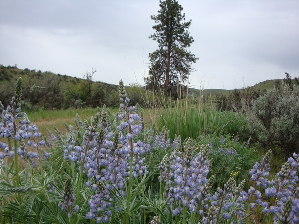
Trails for everyone, forever

Home Go Hiking Hiking Guide Big Burn Canyon

Alert: Major flooding has prompted evacuations and is impacting communities and public lands across Western Washington. Landslide risk and related hazards are very high and have closed trails and roads, including major highways and forest roads.

Check forecasts, consider delaying your hiking or camping plans, and stay safe out there. 


Big Burn Canyon

Central Washington > Yakima
46.8358, -120.7149 Map & Directions
Length
16.0 miles, roundtrip
Elevation Gain
2,850 feet
Highest Point
4,850 feet
Calculated Difficulty About Calculated Difficulty
Hard
  • Wildlife

Parking Pass/Entry Fee

Discover Pass
Saved to My Backpack
Rating
3.00 out of 5

(5 votes) Log in to rate

Hiking Big Burn Canyon

Big Burn Canyon

Map & Directions

Trailhead
Co-ordinates: 46.8358, -120.7149 Open in Google Maps

Before You Go

See weather forecast

Parking Pass/Entry Fee

Discover Pass

WTA Pro Tip: Save a copy of our directions before you leave! App-based driving directions aren't always accurate and data connections may be unreliable as you drive to the trailhead.

More Hike Details

Trailhead

Central Washington > Yakima

Washington Department of Fish and Wildlife, Wenas Wildlife Area

Guidebooks & Maps

Best Desert Hikes: Washington (Bauer & Nelson - Mountaineers Books)

Washington State Department of Natural Resources (DNR) Yakima

You can improve or add to this guidebook entry!

Big Burn Canyon

7 Trip Reports

Hiked here recently?

Submit a trip report!
 
Loading trip reports...
Trip Reports