Black Peak

-
 Length
- 12.0 miles, roundtrip
-
 Elevation Gain
- 5,100 feet
-
 Highest Point
- 8,970 feet
Highway 20 is closed between the Ross Dam trailhead (milepost 134) and Silver Star gate (milepost 171) for the winter season.
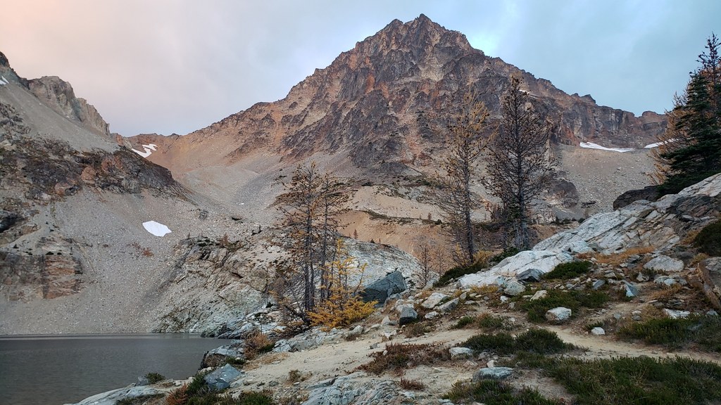

Hiking Black Peak
Black Peak
Map & Directions
 Trailhead
Before You Go
Highway 20 is closed between the Ross Dam trailhead (milepost 134) and Silver Star gate (milepost 171) for the winter season.
WTA Pro Tip: Save a copy of our directions before you leave! App-based driving directions aren't always accurate and data connections may be unreliable as you drive to the trailhead.


