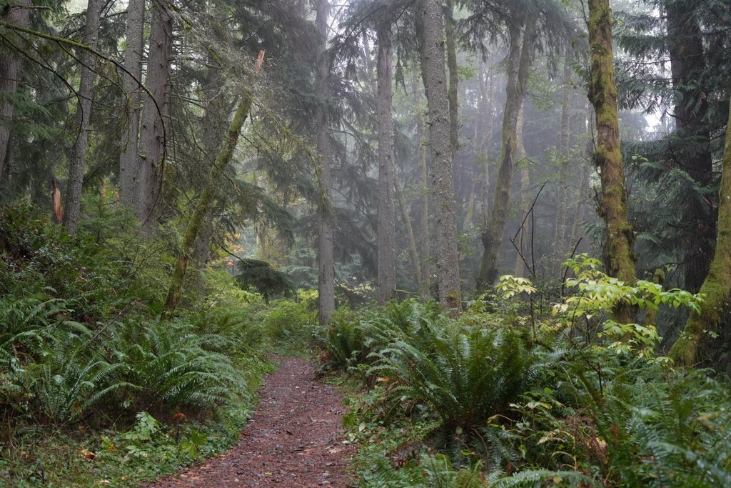
Bullitt AccessRecent Trip Reports
Hiked here recently?
Submit a trip report!
There are
32
trip reports for this hike.
See all trip reports for this hike.
Day hike
Features:
Wildflowers blooming
Expand report text
Hide report text
Read full report
with photos
A short hike on Squak in the late evening. Trails are all dry and easy to walk the loop...
A short hike on Squak in the late evening. Trails are all dry and easy to walk the loop being about 4.2 miles in length with 1200 to 1400 feet of elevation gain.
Surprisingly flowers such as foxglove are out along with phlox and others. Seemed late in the season for these low land flowers but a nice treat to view. Lighting at 5 to 7 PM was interesting and I did not have a lot of company with the start of football season at UW. This is a nice hike near Seattle/Bellevue which can be done in a little over or under 2 hours. Day hike
Issues:
Water on trail | Snow on trail | No water source
Expand report text
Hide report text
Read full report
with photos
1.1 mi/+910 ft, 45 min in, 30 min out (hiking times will vary)
trailhead 47.51653/-122.05803, 1100 ft, Sierra Ct SW
endpoint 47.50438/-122.04771,...
1.1 mi/+910 ft, 45 min in, 30 min out (hiking times will vary)
trailhead 47.51653/-122.05803, 1100 ft, Sierra Ct SW endpoint 47.50438/-122.04771, 2010 ft, Squak Mtn Central Peak radio towers snow above 1700 ft, slush/snow patches above 1250 ft This is a fairly easy winter hike. To keep peace with the neighbors, large parties should opt for the lower trailhead off Mountainside Drive which will add a mile and 400 feet elevation to the trip. Since I did not have to park anything, I went in at the upper trailhead off Sierra Court. The trail is in good condition without puddles of any significance. The larger blowdowns have been cleared from the trail recently. Snow starts making an appearance about 0.9 miles from the top and nearly completely covers the trail about 0.5 miles. Foggy at the top, but from what I remember, there isn't much of a view on a clear day either. Day hike
Issues:
Blowdowns
Expand report text
Hide report text
Read full report
with photos
Squak Mountain may be closed soon because of budget cuts and too bad. It is very easy access and...
Squak Mountain may be closed soon because of budget cuts and too bad. It is very easy access and full of lovely woods, rustic trails, and interesting remains. Just south of Issaquah, Squak Mountain sports 6 access points: 4 on the north (3 of which all join the west access trail), one on the west off the Renton-Issaquah Road, and one on the south off the Seamay Valley Road. Trail junctions are very well marked with brand new signs and clear directions, but there are lots of interesting little unmarked footpaths as well.
Formerly owned by the Bullitt family (KING 5 broadcasting), the mountain was donated to the State of Washington in 1972, but there still remain traces of the family's home and business. The famous stone fireplace and chimney are all that are left of the home. Atop west peak, are the ruins of the so-called Greenhouse. Last year it was still standing, full of large batteries, and an antenna which climbed up a tree. All that is flattened now and the batteries are no more. Further on Chybinski Loop is an old blockhouse off to the north side of the trail. Today a modern complex of radio and microwave towers dominates the central peak and highest point on the mountain. The easiest and least altitude gain is from the water towers access point on Squak Mountain Loop SW. Gotta love any trail where most of the gain is in the car! This entrance, like the one a block away, takes off right from the edge of a subdivision. Day hike
Expand report text
Hide report text
Read full report
with photos
Close in hike on Squak Mountain. Used trailhead at Moutainside Dr. SW with parking for several cars, but only one...
Close in hike on Squak Mountain. Used trailhead at Moutainside Dr. SW with parking for several cars, but only one present at 10am. Nice, wide, well-defined trails throughout. Mostly signed intersections, but a Green Tails Map (203s) is helpful to figure out which way to go at several 3 or 4 way intersections. Visted the Central Peak microwave towers first (no real views except for the towers themselves), then went on to Bullitt fireplace. Nice place to explore the old remains of the former Bullitt home with plumbing and foundations and a few foundation pieces still intact here and there around the fireplace.
Then headed down to take the perimeter trail, which has a viewpoint spur that is well-worth the little .1 detour as it overlooks the May Valley and clear views all the way to Mt. Rainier and beyond. Spur is not signed, but indicated on Green Trails off Perimeter Loop. Then we hooked into the Chybinski Loop trail, but we missed finding the "block house." Finally got back, after a little confusion to the Coal Mine trail that took us back to the Bullitt Access trail and then back to the Trail head. 6.53 miles total and 1800' of elevation gain in all. No mud, bugs flying but not biting, not a lot of color, but some. Nice easy hike in close with a great view off the South side spur. Photos here: http://www.flickr.com/[…]/ Day hike
Expand report text
Hide report text
Read full report
with photos
Squak is a favorite near city hike and with the sunshine yesterday, I decided to take a short walk for...
Squak is a favorite near city hike and with the sunshine yesterday, I decided to take a short walk for some exercise.
The trails are all dry and easy to hike. One car at Mountainside trail head on departure but several more on my return. I am never sure how long the hike is, some signs indicate 1.9 miles others 2.3 miles. There are no views now from Central Peak with Alder growth in the last few years. Some phlox was seen but otherwise a green jungle type vegetation hike. |
|
Document Actions
- Email this page
- Print this
- Share


