
Due to the permanent closure of the Carbon River Road, hikers can now park at the closure and venture to the end of the road to the viewpoint for Ipsut Falls. Along the way, marvel at magnificent old-growth forest, listen for the trilling of birdsong, and pause to take in the power of the Carbon River.
Just past the Carbon River Ranger Station, at the northwest entrance to Mount Rainier National Park, park your car and make your way along five flat miles of old road, surrounded by greenery and the rushing of the river.
After hiking for just over three miles, a trail branches off to the right, leading to Green Lake. This is a nice 3.4 mile roundtrip hike offering a slightly steeper incline than the road you're currently hiking on, worth the side trip if you have the time.
On the Carbon River Road, continue straight on, and after another half-mile, come to a 0.2 mile spur trail for Chenuis Falls. There is a good spot to stop for lunch here, if you're getting hungry.
From the junction for Chenuis Falls, it's another one and a half miles to the Ipsut Creek campground. Pitch camp here, and then make the short 0.3 mile jaunt to view Ipsut Falls.
From the campground, it's possible to access Ipsut Pass and Tolmie Peak via the Wonderland Trail as it heads southwest. Another fork of the Wonderland heads southeast for 2.7 miles to a crossing of the Carbon River. Cross a large suspension bridge here and proceed another mile to set foot on the enormous Carbon Glacier.
WTA Pro Tip: Formerly a car campground, Ipsut Creek is a marvelously appointed backcountry camp, including bear boxes.
Carbon River to Ipsut Falls

-
 Length
- 10.8 miles, roundtrip
-
 Elevation Gain
- 500 feet
The Fairfax Bridge (3 miles south of Carbonado) is closed to all vehicle and pedestrian traffic until further notice due to safety concerns. The bridge closure renders this hike inaccessible.
Parking Pass/Entry Fee
National Park Pass
Due to the permanent closure of the Carbon River Road, hikers can now park at the closure and venture to the end of the road to the viewpoint for Ipsut Falls. Along the way, you'll hike through magnificent old-growth forest, and many opportunities to see the power of the Carbon River.
Continue reading
Hiking Carbon River to Ipsut Falls
Wheelchair Accessibility
A former road, the trail along the Carbon River is relatively flat and may be appropriate for wheelchair users. The grade is variable but rarely steeper than 4%, and roots and rocks in the trail may be avoided thanks to the wideness of the trail.

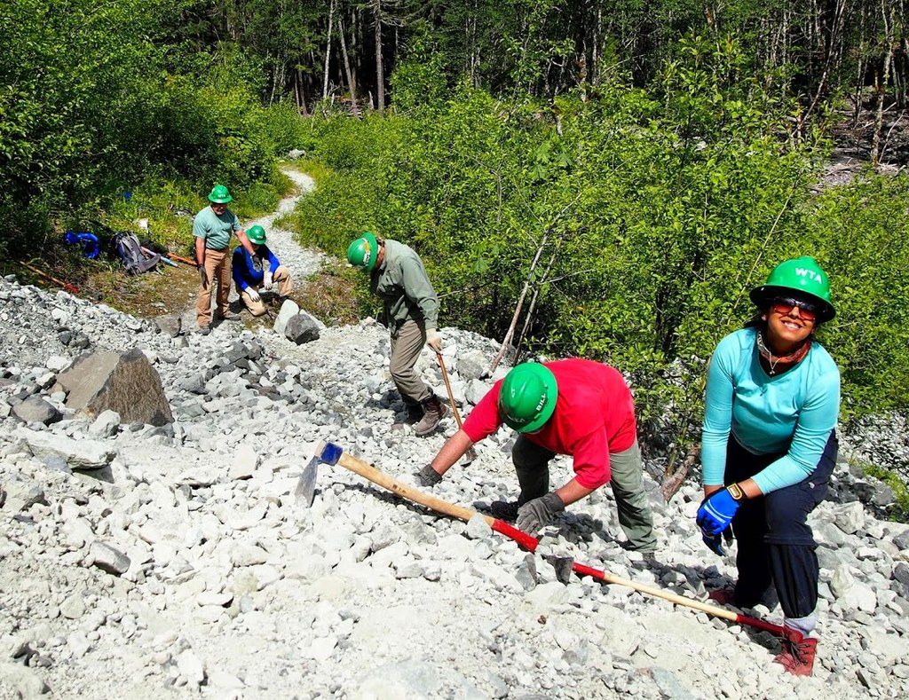
WTA worked here in 2025, 2024, 2022, 2019 and 2018!
Map & Directions
 Trailhead
Before You Go
The Fairfax Bridge (3 miles south of Carbonado) is closed to all vehicle and pedestrian traffic until further notice due to safety concerns. The bridge closure renders this hike inaccessible.
Parking Pass/Entry Fee
National Park PassWTA Pro Tip: Save a copy of our directions before you leave! App-based driving directions aren't always accurate and data connections may be unreliable as you drive to the trailhead.
Getting There
From Puyallup, drive 13 miles east on State Route 410 to Buckley, then turn right onto SR 165. Proceed to the bridge over the Carbon River Gorge and then bear left to Mount Rainier National Park's Carbon River Entrance. Due to 2006 flood damage, it is now necessary to walk the road just inside the park boundary.


