
Carne Mountain is a challenging yet rewarding hike to the brilliant gold colors of western larches. Against a backdrop of blue autumn sky and the magnificent peaks of the Cascades, they are a dazzling sight.
Start your hike on the wide Phelps Creek Trail, and in less than half a mile, bear right (and steeply uphill) to continue on the much-narrower Carne Mountain Trail.
The trail gets right down to business, climbing 2,600 feet in 2.9 miles. Luckily, you'll be hiking through open forest, and in the fall, the colors start here; with vine maple and low-growing shrubs turning vivid oranges and reds.
Towards the end of this climb, you'll pop out of the forest and switchback through an open talus slope. Look for a waterfall tucked into the forest at trails edge, listen for pika squeaks, and stop for a bit to soak in the gorgeous mountain horizon across the valley floor from you.
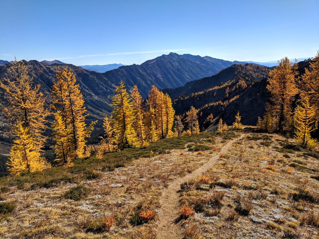
Just shy of 3 miles, the trail delivers you into a small basin below the summit of Carne Mountain. In fall, this is where the larches get good. Take your time ambling through here. The trail curves through this basin to a low pass and a junction with the Old Gib Trail.
Turn left here and keep climbing. In 0.4 miles reach a saddle at 6,800 feet with a stunning look at Carne Mountain, Mount Maude, Clark Mountain, and Glacier Peak, among many others.
From the saddle, bear left (you're at a junction with the Rock Creek Trail) and head up a path for another quarter-mile to the summit of Carne Mountain. Enjoy the great mountain views all around and a variety of wildflowers near the summit before heading back.
 Trailhead