

The Cedar River Trail offers an urban river walk, a more rural river walk along a former rail bed, and a roadside bicycle path connecting the two. Bicycle the entire trail, or select one of many access points to explore the trail on foot.
The trail follows the river for 17.4 miles, from the Cedar River Watershed’s western boundary at Landsburg, downstream to the mouth of the Cedar River, where it empties into Lake Washington in Renton. For the purposes of this guide, the starting point is the Renton trailhead.
Parking spots near the lake have a 4-hour limit. If you are bicycling or need longer parking, park near the restrooms a quarter mile back. Bicyclists are not allowed on the first 0.6 mile of trail, but may ride on Nishiwaki Lane. Mileages listed are from the shores of Lake Washington unless otherwise noted.
The trail starts out hugging the east bank, then the north bank of the Cedar River. As you approach the city streets, there are choices. There are numerous bridges and it is not always obvious whether to cross or not; there appears to be a path on either side. The official trail stays on the north side of the river until it comes to a ‘T’ at Houser Way at 1.6 miles.
From Logan Avenue N. to Bronson Way N., there is a lower path along the river’s edge. It passes beneath street-level overpasses to make crossings safer. Here, bicyclists must dismount. However, this lower trail is often closed during the winter months, or when water levels are high. A street-level route is always available, sharing the road with vehicles. But street crossings require observance of traffic and pedestrian signals. Crossing Bronson Way N. (without a marked crosswalk) can be hazardous; there are crosswalks one block to the north or south.
At 3.0 miles, the trail comes up along the south side of the Maple Valley Highway. At 3.9 miles, it crosses under and continues along the north side of the highway. Along this stretch only, bicyclists are limited to 10 miles per hour; elsewhere the limit is 15 mph.
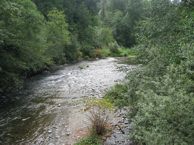
The next several miles are close to the highway, but also pass by numerous Natural Areas along the river. At 12.7 miles is the end of pavement, at a junction with the Green to Cedar River Trail. Continue straight on packed gravel (suitable for most bicycles), and veer away from the highway for the last 4.7 miles to the Landsburg trailhead.
The return route is the same, with the exception of Houser Way, as already mentioned.
WTA Pro Tip: At Houser Way, 1.6 miles (eastbound only), go left 150 feet and use the pedestrian signal to cross Houser Way, then take the underpass beneath I-405. Cross the Cedar River on a bridge under the freeway, then head east on the well-marked trail. (For westbound travel, stay on the south side of the river, cross under I-405, using a narrow shoulder bike path to get to Houser Way S. Cross Houser, then use the path on the west side to cross the Cedar River.)
To select just a portion of the trail, consider these other access points:
- Cedar River Park, at the intersection of I-405 and SR 169. (1.7 miles from Lake Washington)
- Riverview Park, along SR 169, 1.0 mile east of I-405 (2.7 miles from Lake Washington)
- Ron Regis Park (SR 169 and 149th Avenue SE) is 4.6 miles from Lake Washington, 12.8 from Landsburg
- An unmarked gravel parking lot at SR 169 and SE 215th (just west of SR18) is 5.6 miles from Landsburg.
 Trailhead


