
Sesqualitchew Creek is a fantastic find in the middle of DuPont. Transition from urban to forest and back over a short trail that provides a great distraction from the buzz of urban life -- and all possible on your lunch break!
From the City Hall parking lot, follow a little trail down through a forested canyon for about one and a half miles. The cool green tunnel is welcome respite on hot days, and wildlife is bursting in the trees, bushes, and on the trail beneath your feet.
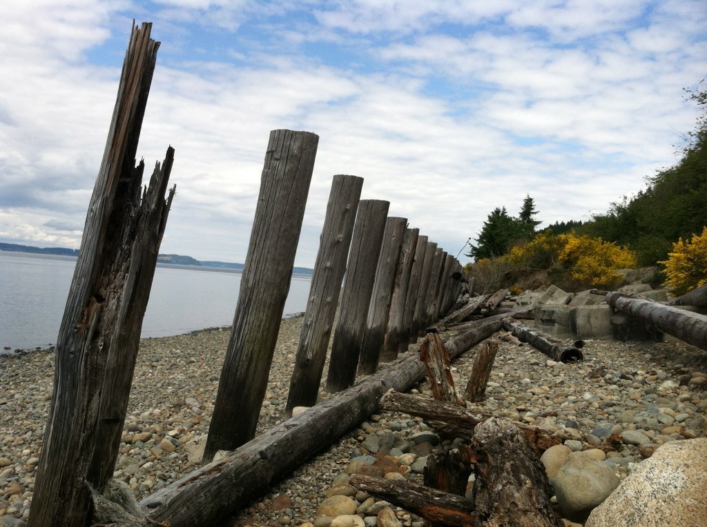
Kids will love this hike for that reason, so be prepared to go slow and enjoy all the little wonders that surround you. If you need to tempt them on, tell them about the pebbled beach that waits at the end of the trail, where there are old rail lines to clamber around and explore.
Further on the horizon, views of Puget Sound and the mountains beyond provide an excellent backdrop for you to appreciate before making the return trip to civilization.
Sequalitchew Creek

-
 Length
- 3.0 miles, roundtrip
-
 Elevation Gain
- 218 feet
-
 Highest Point
- 250 feet
Parking Pass/Entry Fee
None
Sesqualitchew Creek is a fantastic find in the middle of DuPont. Transition from urban to forest and back over a short trail that provides a great distraction from the buzz of urban life -- and all possible on your lunch break!
Continue reading
Hiking Sequalitchew Creek
Map & Directions
 Trailhead
Before You Go
Parking Pass/Entry Fee
NoneWTA Pro Tip: Save a copy of our directions before you leave! App-based driving directions aren't always accurate and data connections may be unreliable as you drive to the trailhead.
Getting There
From I-5, take exit 118 and turn right onto Center Drive (signed for DuPont). Proceed on Center Drive for 1.2 miles, then turn left onto Civic Drive. Take the first right into the city hall parking lot. The trail starts at the back of the parking lot with signs directing you to the trail. There is ample parking and one handicap accessible portable toilet available at the trailhead.


