

Along a moderate trail into the glorious Alpine Lakes Wilderness Area, past burnt ponderosa pines, chattering mountain streams, plenteous wildflowers and tall mountain peaks, hikers will find beautiful Eightmile Lake and its rocky and tree-lined shore.
The trail starts off with a hearty little climb, but levels out and becomes a moderate hike as the 1,300 feet of elevation gained during this hike is nicely spread out over the 3.3 miles to the lake. Keep an eye out during this first stretch and feast your eyes on Dragontail Peak and Colchuck Peak with Colchuck Glacier resting between. These guard the gateway of Aasgard Pass into the Upper Enchantments.
Within the first mile, you will find yourself stepping over a small creek and crossing a log bridge at the lively Pioneer Creek. Also, within that first mile, take note of two trail junctions as you hike along. The second is the proper trail. Stay to your left on the way to the lake and to your right on the way back out. A little over a mile later, find your way into the Alpine Lakes Wilderness.
Wipe the sweat from your brow and look around as you pass by countless burnt and blackened ponderosa pines towering above you. But look to the feet of these burnt sentinels, too; wildflowers are plenteous here. Try to find Indian Paintbrush, mountain monkshood, fireweed and more.
After 2.8 miles of beauty, reach the almost marsh-like Little Eightmile Lake. Rest assured, this is not your destination, though it makes a nice resting spot for those who want to catch their breath before the final push to the real destination. As you start down the trail past Little Eighmile Lake, you come to another signed junction. Stay straight, following the main trail. The spur trail will lead you to Lake Caroline and Windy Pass.
The last half mile from Little Eightmile Lake will take you through a small boulder field where life may surprise you in the form of a mountain squirrel, pika or marmot. As you near the lake, the trail gets steeper as you pass so close to Eightmile Creek you can reach out and touch it. Its splashing and chatter make it tempting to stop here, but you are almost to an even more inviting lunch spot.
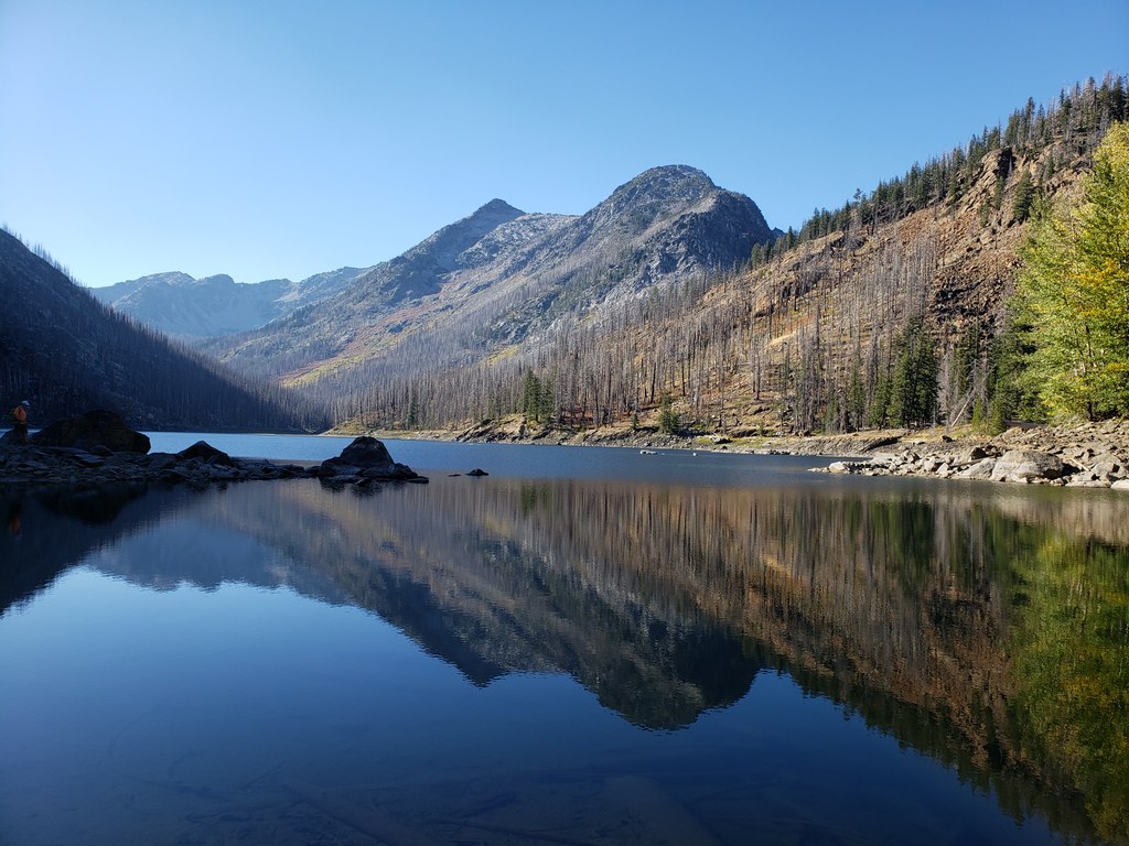
Once you reach the lake, search the treed and rocky shores for access, and enjoy the view of this breathtaking mountain lake. Pull out your map and locate Eightmile Mountain, dip your feet or jump right in — you deserve it! For more exploring, follow the trail to the right as it wanders along the shore for almost a mile.
WTA Pro Tip: Overnight trips to Eightmile Lake between May 15 and Oct. 31 require an Enchantments permit. Go to the Recreation.gov website for more information.

 Trailhead


