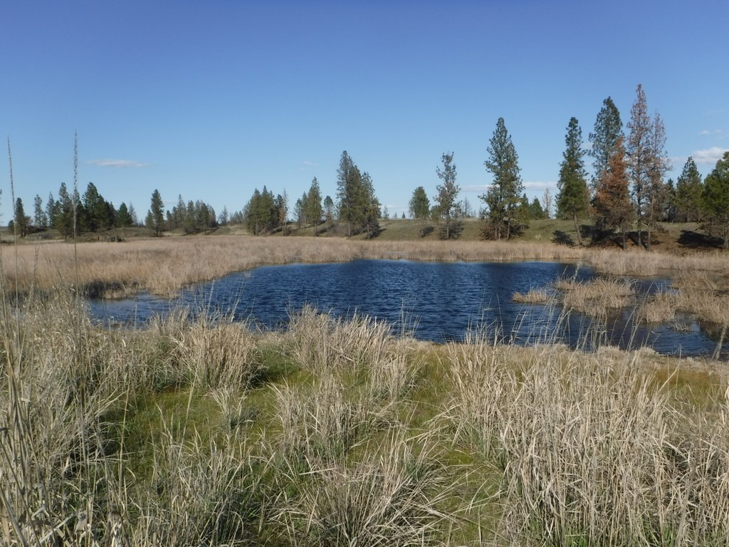

Scroggie Loop is an excellent hike for viewing wildlife and spring wildflowers. With open terrain that passes through occasional stands of Ponderosa pines and past seasonal wetlands, hikers get to experience the variety of the desert country just west of Spokane. Listen for turkeys, watch for deer, and linger near the water to observe birds.
Begin the hike by walking through the trailhead gate, being sure to latch it closed behind as this is range land. The trail consists of old farm roads marked with carsonite trail markers.
From the trailhead begin by hiking southwest, contouring around several large wetlands in the first mile. As the trail turns west, enter a section with open grasslands. When the trail begins to turn to complete the loop it nears more pines, an excellent place for watching the resident mule deer population.
The entire marked loop is three miles in length, but could be extended by exploring additional farm roads on the property. Just stay within the fenced area, as this parcel of public land is surrounded by private property. There is no access to Fishtrap Lake from this trail.
Fishtrap Lake - Scroggie Loop

-
 Length
- 3.0 miles, roundtrip
-
 Elevation Gain
- 200 feet
-
 Highest Point
- 2,260 feet
An excellent hike for wildlife and wildflowers, the Scroggie Loop curves through open terrain, Ponderosa pines, and wetlands -- a wide variety of desert country just west of Spokane.
Continue reading
Hiking Fishtrap Lake - Scroggie Loop

WTA worked here in 2020, 2019, 2018, 2017 and 2016!
Map & Directions
 Trailhead
Before You Go
Parking Pass/Entry Fee
NoneWTA Pro Tip: Save a copy of our directions before you leave! App-based driving directions aren't always accurate and data connections may be unreliable as you drive to the trailhead.
Getting There
From Spokane, drive west on Interstate 90. Exit the freeway at exit 254, signed for Fishtrap/Sprague Highway. Turn south here, and 2.4 miles from I-90, turn left on Fishtrap Road.
Continue on this road for 1.2 miles to the Fishtrap Lake Resort, then bear left onto Scroggie Road--a nice gravel road leading across the end of the lake area. Drive 1.4 miles up Scroggie Road on the south side of Fishtrap Lake and pull off to the right at the signed and fenced parking area.


