
The drive to the trailhead may be long, but the destination is absolutely worth it.
At the easterly edge of the Pasayten Wilderness, almost touching the Canadian border, lies Horseshoe Basin, a truly unique and beautifully remote place.
Horseshoe Basin is one of the few places in the Lower 48 to contain alpine tundra and is home to bears, deer and bighorn sheep, if you know where to look. Allow plenty of time to explore Horseshoe Basin by camping at the trailhead, where primitive camping without a water source is available. Bring plenty of water with you.
From the trailhead, enter a forest still bearing scars from the 2006 Tripod Fire. Note how the trees are starting to silver and keep your eyes out for wildlife, including porcupines and woodpeckers. Water is scarce along this section of trail, and, in the heat of summer, this area can be a scorcher due to the lack of tree cover.
At 1.5 miles, cross a tributary of Clutch Creek, the only consistent water source until Horseshoe Basin. This is your last chance to refill water bottles, so take the time to do so here. Continue on until the trail finally breaks out of the burned area about three miles from the trailhead. Here, emerald green hillsides take over the vista in front of you, and scenic Sunny Pass beckons.
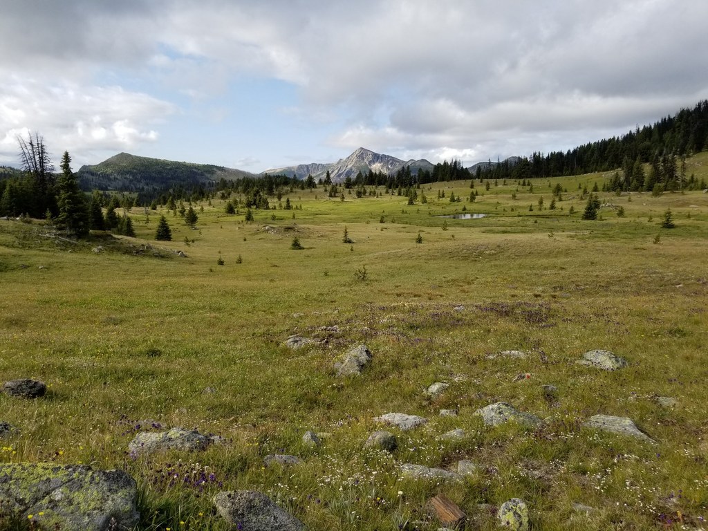
Hike steadily uphill and reach the inviting pass at 4.8 miles. Sunny Pass is the perfect place for a picnic lunch. As you enjoy a snack, enjoy your first sight of Horseshoe Basin, an area that begs further exploration. On your way to the basin, you’ll see increasing amounts of subalpine fir trees, trickling creeks and bright wildflowers.
At 6 miles, you arrive at your destination: sublime Horseshoe Basin. Take in the expansiveness of the area. Gawking is allowed, even encouraged. If you’re still feeling sprightly, head uphill as far as you’d like for increasingly expansive vistas — go far enough and you can touch Canada!

 Trailhead