

Phil’s Creek Trail (also known as Phil’s Trail) and the Thrush Gap Loop offer perhaps the purest Squak Mountain experience: a mountain rainforest where flora and fauna thrive to produce an undisturbed, numinous experience regardless of season.
From the trailhead at the parking area, start on the trail leading to the May Valley Loop. At 0.1 miles cross the access road, and climb gently into a forest of Douglas fir, western hemlock, red cedar, alder, and bigleaf maple. Groundcover includes cascade Oregon-grape, salmonberry, thimbleberry, vine maple, and devil’s club.
At 0.5 miles encounter a sign that reads: May Valley Loop, with a sign pointing right to Central Peak in 2.7 miles and left to May Valley Trailhead in half a mile. Head right, for Central Peak. Cross the access road and turn left at the sign “<- Phil’s Creek Trail 2.0.”
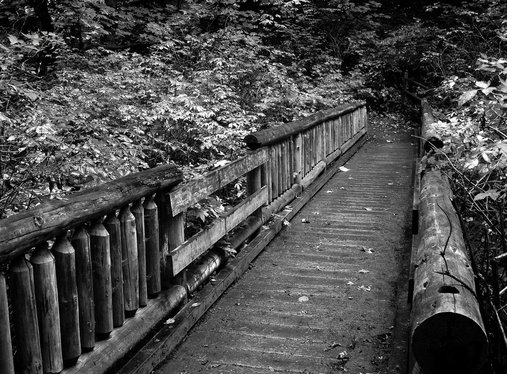
0.8 miles into the journey, cross a 50-foot wooden bridge over Phil’s Creek. 1.1 miles from the trailhead, reach 700 feet of elevation where the trail forks at a sign: “May Valley Loop ->.” The left route is steeper, and the right route less so; 1.4 miles from the trailhead, the two forks rejoin. As you ascend, you may observe that the thimbleberry and salmonberry blossom and yield berries in spring and summer, while Robert’s geranium, candy flower, and miner’s lettuce blossom in summer and autumn.
At 1100 feet above sea level and 2.3 miles into the journey, you will encounter the double sign for May Valley Loop pointing right and reading: May Valley THD 2.2. Below you will see two more destinations, Central Peak, which is 1.2 miles to the left, and the South Access Road, also to the left.
You have reached Phil’s Creek Trail! Proceed to the right. 2.8 miles into your trek, there is another double sign with “Phil’s Creek Trail” as the header on the lower sign, and follow it to the left.
3.1 miles into your hike and at 1600 feet of elevation, you will reach a sign indicating that you have reached the intersection of Phil’s Creek Trail and East Ridge Trail. You have found Thrush Gap Junction, the southern terminus of the Thrush Gap Loop. Turn right to take this 1.9-mile loop counterclockwise and pass by “Manning’s pulpit,” a rocky outcrop looming above the trail, and Squak’s Southeast Peak near the start of the loop. At 0.3 miles, stay left at a junction (rather than head to the Issaquah Trail Center).
If you turn left at Thrush Gap Junction, you can continue on Phil’s Creek Trail, skirting the eastern flank of Central Peak until an intersection with the East Side Trail. Along Phil’s Creek Trail, consider a side trip to Squak’s summit either by the Summit Trail or Old Griz Trail; either option is 0.5 miles long and gains approximately 300 feet. Reach the northern terminus of Thrush Gap Loop at an intersection with East Side Trail. The Thrush Gap is the epitome of the Squak experience, resplendent with old growth, devil’s club, foxglove, and mushrooms such as Fometopsis pinicola, Russula emetica, and boletes; you may even grab glimpses of Poo Poo Point and Issaquah.
The total round trip is 8.2 miles: 3.1 miles from the trailhead to Thrush Gap Junction and 1.9 miles along the Thrush Gap Loop (not including the summit side trip). Along the way, watch for black-capped chickadees, Pacific banana slugs and European black slugs, chipmunks, and occasional field mice. At your feet, the trail has been engineered lovingly with turnpikes, drainages, and culverts to endure the heavy rainfall that Squak Mountain receives. Another reason to watch your step is the trails system’s shared use with pack animals.
WTA Pro Tip: bring the 10 essentials with you on this excursion, particularly map and compass. The trail network can be confusing, and guidebooks may not match junction signs on Squak.
Historical Note
Squak Mountain is the peak less traveled—and least forested—of the Issaquah Alps. For decades, the Bullitt family owned 590 acres of Squak Mountain forestland, and their 1972 bequest to form Squak Mountain State Park stipulated that the land not be logged. As a result, Squak boasts relatively preserved old-growth forest and ecosystem compared with its more popular neighbors Tiger and Cougar.
 Trailhead


