

Begin across the road from the Longmire building complex, which includes restrooms, a museum, a hotel and myriad other interesting historical tidbits about the park. Follow signs to arrive at the Trail of the Shadows, a short, informative loop trail that begins your trek.
After a short amble through enormous trees and swampy areas full of skunk cabbage and horsetails, you’ll arrive at a junction where the Trail of the Shadows rolls out in front of you, and the Rampart Ridge trail begins switchbacking upwards to your left.
Take the left trail, and begin the steady, somewhat steep climb up. The trail is well-made, but the moderately steep grade may slow you down a bit. That’s OK – take the time to look all around you at the forest as the trail brings your eye level from the base, to higher and higher on the trunks of the trees. There are several interesting spots to stop for photos, including a fascinating wooden arch: a tree that seems to be growing back into the ground.
Continue climbing, then come to a junction just shy of the high point of your hike. A 200-foot, signed spur trail to your right takes you to an overlook of the Longmire building complex. Just 1.2 miles ago, you were way down there!
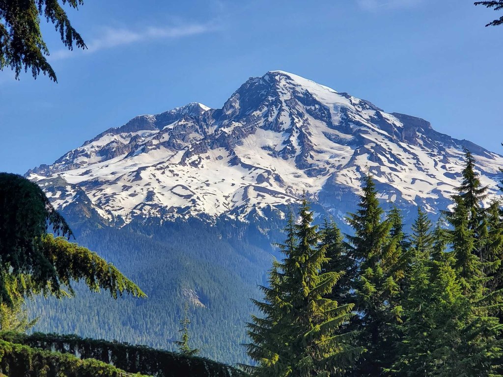
Head back to the main trail and continue uphill just a bit more, to where the trail crests the ridge and heads over to the other side. You’re greeted here by an in-your-face view of Mount Rainier, with the Kautz and other glaciers straight ahead. Enjoy this viewpoint — it’s the best one you’ll have of Rainier on this hike, before continuing to traverse the ridge, this time on a gentle downhill grade.
The trail meets up with the Wonderland Trail 1.2 miles from the view of Rainier. Turn right and head downhill on steeper terrain than the ridgeline traverse. In 1.9 miles, you’ll be at Longmire again. Be sure to check out the rest of the Trail of the Shadows to cool off and learn a little about the plants growing in the national park.

 Trailhead


