

This is a great hike for views, wildflowers and in the fall, berries. The trail takes off into an old burn that has come back nicely. Begin your hike by walking the first mile through a regenerating wood of hemlock and firs. After the first uphill climb, reach the top and a break in the trees. Here, there will be some paths leading to views over the ridge.
Take in the views, then descend gradually as the trees begin to thin out. Some peek-a-boo views of the nearby mountains can now be glimpsed through the gaps in the forest. Follow the trail as it meanders gently up and down along the ridgeline, then arrive at a little meadow filled with lupine and heather. Can you smell it? On warm days, blooming lupine perfumes the trail.
Once past the meadow, be on the lookout for an unmarked, but obvious trail taking off steeply to the left at about two miles. There may or may not be a cairn at this junction, which is for the trail to Mount Sawyer. Great views and more wildflower meadows await you here. Like any self-respecting trail to a peak, this one begins steeply and traverses across the south side on its way up. As it reaches the summit, it circles around to the north side, becoming very narrow and hard to follow through the heather and white rhododendron, beautiful if in bloom.
Try not to step on the plants. Find rocks and worn tread to take you to the top. There is a geological survey marker giving the elevation at the summit: 5,495 feet. Once at the top, it’s three hundred and sixty degrees of the Cascade Mountains! Glacier Peak is to the north and just to the west of it is Mount Baker poking up in the distance. Mount Rainier is to the south, Mount Baring to the west, plus close-ups of Hinman, Daniel and other Alpine Lake Wilderness peaks. How many can you identify? Look to the east and see Stevens Pass curving through the valley and the eastern Cascades in the background. Wow!
Once you are done feasting on the views, it may be time to head downward to look for a lunch spot. Meet the main trail and follow it another mile to Sawyer Pass. A flat open area amid the trees, there are some nice lunch logs and a few places to camp. Enjoy your lunch amid the heather and huckleberries, but bring water. Once the snow melts, there is no water on this trail. A trail sign indicates the main trail continues down to Deception Creek. To the right is an unmarked side trail which leads to a few dead ends, then wanders around a bit before becoming a brushy, unmaintained trail down to Fisher Lake.
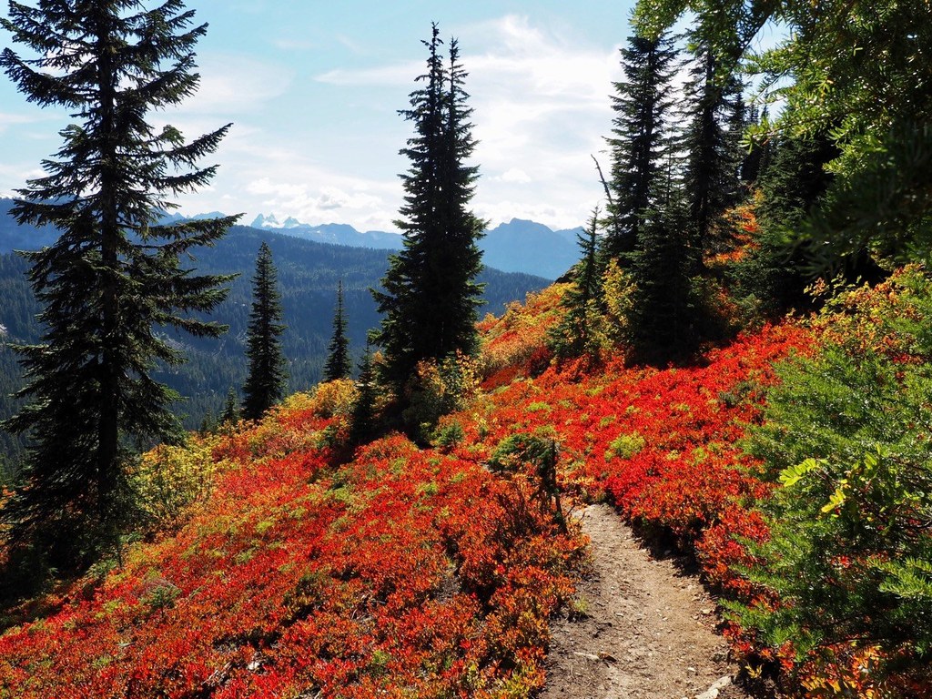
WTA Pro-Tip: Come for the berries and fall color, but remember to wear bright colors and make some noise. Where there are berries, there are usually bears, and there may be bear hunters in hunting season.

 Trailhead


