

Get up close and personal with Mount St. Helens as you explore the northern flanks of the eruption site and meander through the unique ecology of the pumice plains.
The Truman Trail can be started at either end — by parking at the Windy Pass trailhead and heading west, or by parking at the Johnston Ridge Observatory and heading east past the Boundary Trail (though this itinerary will add a few more miles to your total).
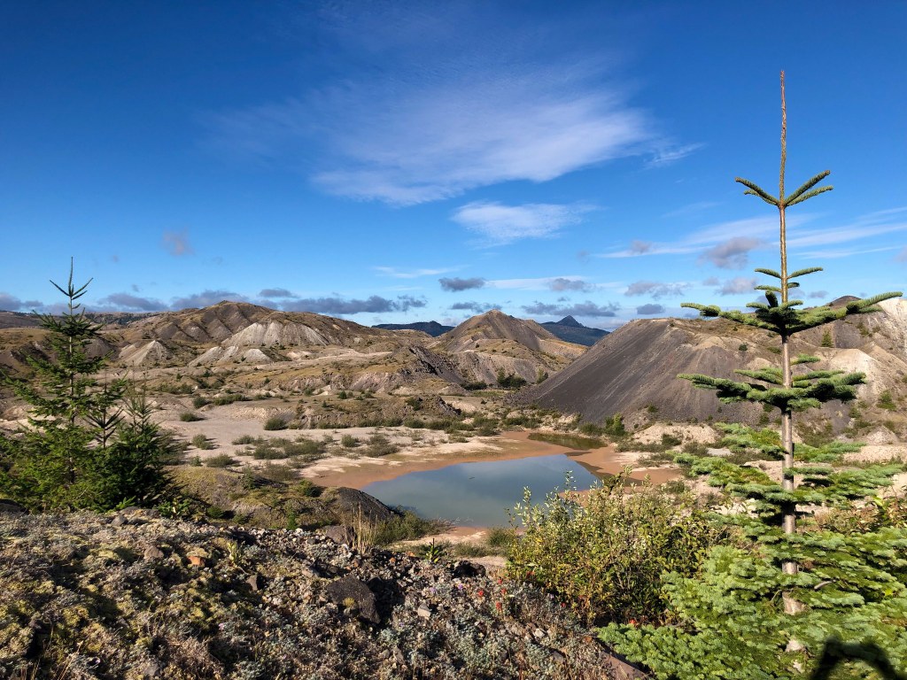
Either way, your journey will take you through some of the most otherworldly scenery in all of Washington State.
After nearly four decades, the pumice plains are now teeming with life. It’s not unlikely that you’ll catch sight of mountain goats, elk and songbirds as you meander up and down the gentle moss-covered hills. From the north, you’ll welcome views of Spirit Lake and the Mount Margaret backcountry, while unobstructed views of Mount St. Helens encompass the south. If you look closely, you can spot a few research stations set up around the valley, too.
Note: Overnight camping is not allowed along the Truman Trail due to recovery efforts.

 Trailhead


