

Start hiking from the old Dosewallips Road that used to span about half the river valley until a devastating washout in 2002, forcing the Forest Service to close down a section of it. Another washout in recent years made the Forest Service close down another area of the road. This made the hike about 10 miles longer, but you can still backpack to the glacier and back.
Continue on the old road for a while. The first miles are easy, paralleling the river. After 8 miles, come to a junction. You'll be leaving the old road and hiking on a trail.
Turn left on the West Fork Dosewallips River Trail, which receives far less traffic than the old road you started on. Stay on this for 8.5 more miles to the junction. Turn right. From here, the big lake is only a half-mile away, though the trail gets very steep.
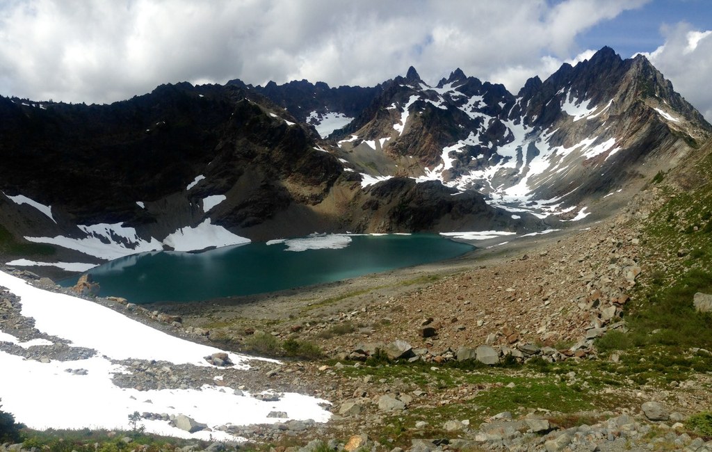
Finish off the vertical half-mile and hike up a small knoll. Finally, you've made it. The view of the lake from the knoll is breathtaking, merely 100 feet below, its sky blue waters reflect Mount Angeles off the surface.
WTA Pro Tip: The glacier is located up ahead beyond the lake. There's no trail to it, but you can make an easy scramble on scree through the valley.

 Trailhead


