Early Season Backpacking on the Olympic Peninsula
If you're a hiker who has started to feel the pull of the backcountry, a short, early-season backpacking trip may satisfy your craving for overnighting in the outdoors. Don't mind facing down a little rain or mud in search of wildlife, coastal wilderness and solitude? Then consider heading to the Olympics this spring on one of these excellent locations for backpacking.
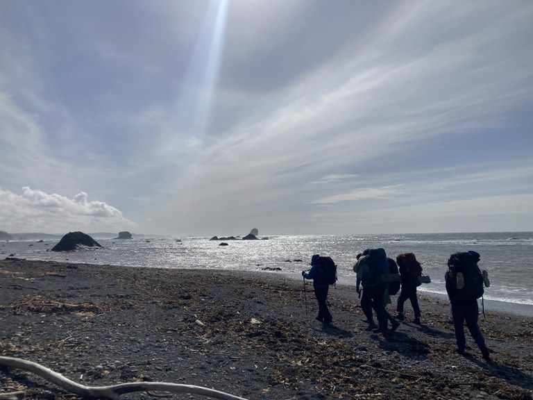
You may get lucky and have a beautiful sunny day at the beach in the middle of a Washington winter. Photo from a WTA OLT trip. Photo by Erin McQuin
While early-season backpacking is often at low-elevation, that doesn't mean it's easy, especially on the coast. Beach hiking in western Washington can mean rock scrambling, tide traps and often bad weather. It can be challenging, but also quite fun — just be prepared.
Before you go
- Check trip reports. Look at the Olympic Peninsula region in our Hiking Guide to confirm trail and road conditions. In spring, many trails may not have been yet cleared. If you go, write a trip report of your own when you are back!
- Go prepared for springtime conditions. Expect mud, variable weather and potholed roads. Be sure to check and recheck the forecast.
- Be aware of water hazards and erosion. Spring melt can make Olympic rivers hazardous this time of year. Watch your step around banks and don't be afraid to turn around if a creek or river ford is running too high for your taste. Brush up on river crossing technique.
- Refresh your memory. Whether you're trying backpacking for the first time or not, it never hurts to brush up on your backpacking basics: what to pack, what to eat and on-trail best practices.
- Research the rules, regulations and tidetables on the peninsula. Dogs are only allowed in Olympic National Forest and you may need a backcountry reservation or permit to camp.
Toleak Point — Third Beach to Oil City Traverse
Location: Olympic Coast
Length: 17 miles, one way (2-4 days)
Elevation gain: 3,000 feet
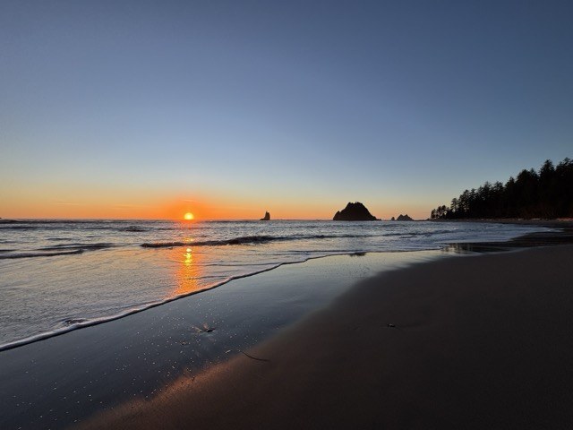
Up and down you'll go on this demanding trail. But it is entirely worth it for the ocean sunsets, the unexpected encounters with wildlife, the incredible sea stacks and the constantly crashing surf. Photo by trip reporter samjones
Experience one of the wildest and most beautiful stretches of coastline in the contiguous United States on this 17 mile traverse. But beware: this isn't a leisurely beach walk. The going is tough. You'll be climbing ladders with your backpack on, scrambling along muddy headland trails, waiting out high tides and fording creeks. Note: this trail is in Olympic National Park and does not allow dogs. You'll also need a backcountry permit.
> Plan your visit to Toleak Point using WTA's Hiking Guide
Ozette Triangle: Cape Alava - Sand Point Loop
Location: Olympic Coast
Length: 9.4 miles, roundtrip (1-2 days)
Elevation gain: 300 feet
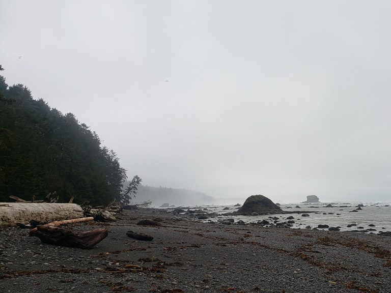
A standard winter day at Cape Alava. You may not have much in the way of views, but the giant birds circling at low tide and the rush of the tide make it feel wild. Photo by Anna Roth.
Add a tide chart, binoculars and a camera to your backpack on this coastal classic. You'll be surrounded by beautiful lush green vegetation as you walk along the boardwalk to the beach. Be careful if the boardwalk is wet; it can become very slippery. With your binoculars, spot birds, seals, otters or maybe a whale. Note: this trail is in Olympic National Park and does not allow dogs. You will need to secure a permit to camp anywhere along this loop.
> Plan your hike to Ozette Triangle using WTA's Hiking Guide
Slab Camp Creek and Grey Wolf River
Location: Hood Canal
Length: 5.6 miles, roundtrip (1 day)
Elevation gain: 1,100 feet
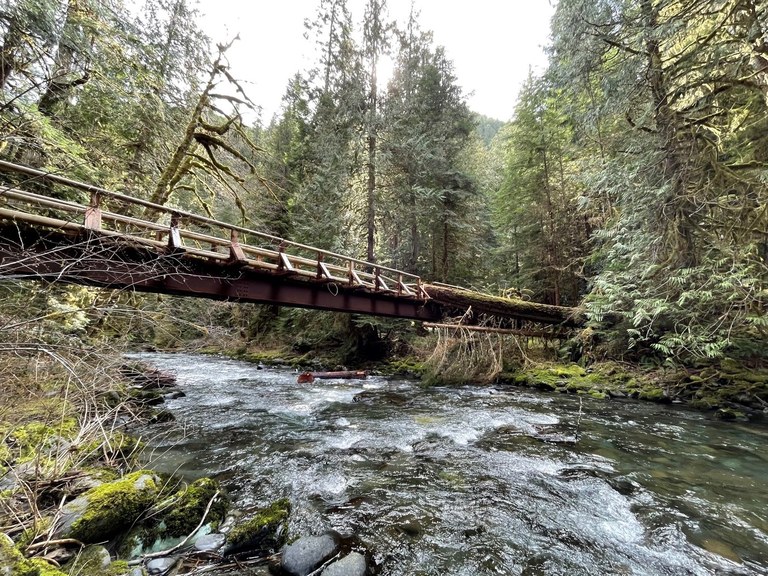
Dramatic bridge heading towards Slab Camp, a community-approved spring backpacking trip — trip reporter Dadster says, "this is a great early-season hike!" Photo by trip reporter Dadster.
Thick green forests and the swollen Grey Wolf River will keep you company on this short backpacking trip on the eastern side of the peninsula. There are three well established, large camping spots at Duncan Flats about 2.5 miles in (one’s just across the bridge). Slide Creek Camp is about another 1.5 miles from there. Both have water year round.
> Plan your hike to Slab Camp Creek using WTA's Hiking Guide
North Fork Skokomish River
Location: Pacific Coast
Length: 15.2 miles, one-way (1 day or more)
Elevation gain: 3,568 feet
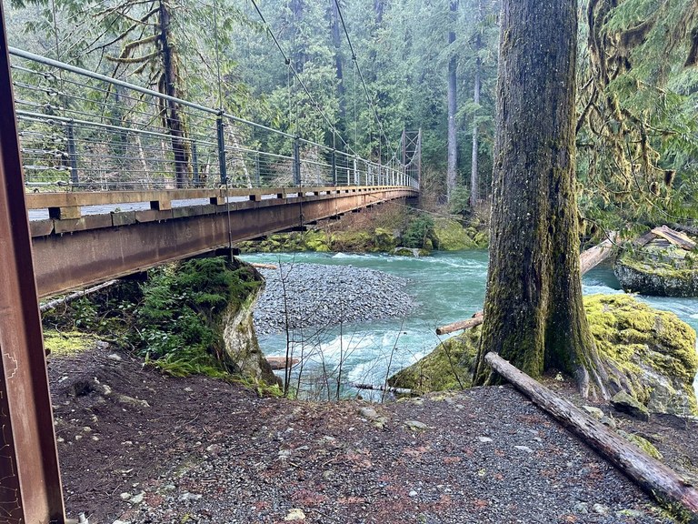
Another dramatic bridge — they're a signature of Olympic Peninsula hiking, where you have to cross many rivers. Photo by trip reporter Retired Tim.
The North Fork Skokomish River is a great winter trail, since it stretches 15 miles into the heart of the forest. A popular destination is Camp Pleasant, about 7 miles in, though other locations are available closer to the trailhead, such as Slide Camp or Spike Camp.
> Plan your hike to the North Fork Skokomish River using WTA's Hiking Guide
South fork Hoh River — Big Flat
Location: Pacific Coast
Length: 7 miles, roundtrip (1 day)
Elevation gain: 150 feet
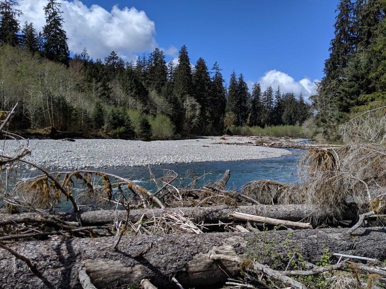
The wide Hoh River South Fork makes for a nice place to take a break on this rough trail. Photo by trip reporter willybarro.
This remote, quiet trail penetrates a wild and remote wilderness and offers hikers solitude just a short distance from the quite-popular Hoh Rain Forest. It's just 2 miles to Big Flat campground, where you can drop your tent and overnight gear and keep hiking as far as you can make it. It's a rugged, quiet area that sees little maintenance, so expect a challenging hike. Managed by Washington state, you'll need a Discover Pass for the parking area.
> Plan your visit to South Fork Hoh River – Big Flat using WTA's Hiking Guide
Lower Big Quilcene River
Location: Hood Canal Area
Length: 12.9 miles roundtrip (1-2 days)
Elevation gain: 1,890 feet
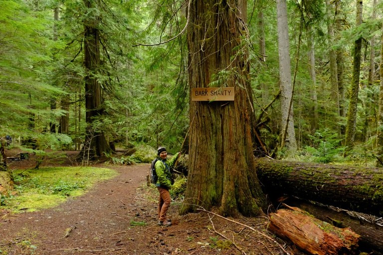
Happy hiker on a spring outing on the Lower Big Quilcene Trail near Bark Shanty. Photo by trip reporter Chasing Dirt.
This low-elevation trail is a great early-season option (or even practice for snow camping). With a really wide, flat trail, it's a breeze to get to Bark Shanty (pictured above) 2.7 miles from the trailhead. Those wanting to press on further can head to Camp Jolly, a bit more than 5 miles in.
> Plan your visit to Lower Big Quilcene River using WTA's Hiking Guide
Elwha River and Geyser Valley
Location: Olympic Peninsula, near Port Angeles
Length: 17.5 miles, roundtrip
Elevation gain: 3,568 feet
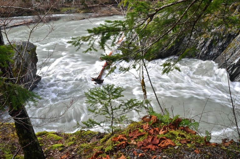
A hike to Geyser Valley makes for a great early or late season backpack. The majority of the hike is on road, behind the washout from the Elwha river, first paved and then gravel. The wide road makes it easy to chat with your hiking companions. Once you reach the former trailhead, the route switches to single-track. You have two options to reach Geyser Valley — staying up higher or dropping down and checking out the fascinating canyon and Goblin Gates. Geyser Valley itself is a lovely, wide meadow with a number of established campsites. You might even get lucky and see a herd of elk.
> Plan your hike to Geyser Valley using WTA's Hiking Guide.
Dosewallips River Road
Location: Hood Canal Area
Length: 13 miles, roundtrip
Elevation gain: 1,200 feet
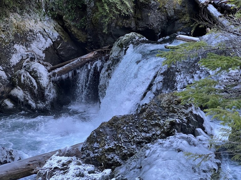
This river hike is accessibly nearly year round — it's low enough that it's usually snow-free. The route follows an old road, with just a slight detour around a washout. It doesn't gain much elevation, except for the detour and a short climb as the trail approaches the Dosewallips Campground at 6.5 miles. The large campground used to be a car campground. The picnic tables are now gone, but there are privies and bear boxes. It's a good warm up trip or a nice way to introduce someone new to backpacking.
> Plan your hike to Dosewallips River Road using WTA's Hiking Guide.

