Winter Weather in Washington: How to Check all the Forecasts

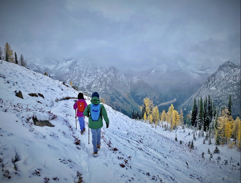
Gold Creek Pond. Photo by Sue Kraemer.
Find a forecast: Roads and parking | Trail conditions | Snow and avalanche conditions | Weather forecasts
There is a lot of terrain to cover between your door and your destination, and not all of it is on the trail. It’s important to be prepared for what you’ll encounter at each step of your journey. Doing some research about road conditions, trail conditions, snow conditions and the weather forecast before you leave home will help you have a great trip.
Meteorologists, transportation agencies, land managers, snow scientists and trip reporters are all keeping an eye on winter conditions and updating their reports and forecasts. With so much good information out there, it can be tricky to find what you need. We’ve put together this guide to help you get the information you need before you head out on a winter wander.
Roads and Parking
Are you going to be able to even get to the trailhead and park your car responsibly once you get there? The variety of roads hikers encounter — from major highways to mountain passes to dirt roads — all come with different winter conditions. And trailhead parking lots may be snowed under, even if the road is clear.

Getting to a trail near you during the winter and finding a responsible place to park can take some planning. Photo by Emma Cassidy.
Major Highways
- Mountain Passes — Find travel restrictions, road conditions, temperature, weather and even up-to-date photos of the passes across the state.
- WSDOT Twitter — The Washington State Department of Transportation (WSDOT) regularly updates their Twitter page with the latest news including accidents, delays, closures and mountain-pass conditions.
- Real-time map — This map is a one-stop-shop for any and all issues with the highways you are planning to take.
Forest Roads
- Trip reports — During the winter, trip reporters share crucial information about the roads that continue where the pavement ends. Check recent trip reports for your planned hike and you’re likely to get a sense for those last few miles of road to the trailhead.
- List of land manager websites — The Forest Service and National Park Service manage thousands of miles of forest roads across the state, and they publish road conditions on their websites. Our list of all the different land managers makes finding this information easy: Just click “Road Conditions” for the district you plan to visit. Just remember, land managers are spread thin due to chronic underfunding so conditions are not always up-to-date online. Give the ranger district a call or check a second source to make sure you have an accurate picture of the roads. Our guide on land managers will help you find the right area, or you can check out this handy map of public land in Washington.
Trailheads
- Trip reports — Hikers are the best source of up-to-date information on trailheads. Many trip reports will describe the amount of snow in the parking lot and whether or not bathrooms and other facilities are closed for the season.
- Sno-parks — Sno-parks are parking lots that are routinely plowed throughout the winter, with a network of trails that connect to the parking lot. Non-motorized and motorized sno-parks are listed as well as an interactive map showing up-to-date information about when the lot was last plowed. Check out our guide to visiting sno-parks for all the details.
- Park like a pro — Trailheads are often out-of-reach in winter. If you decide to park on the side of the road, make sure parking is allowed, don’t get your car stuck and leave plenty of room for emergency vehicles to get through.
Trail Conditions
Winter trail conditions run the gamut. You’ll want to know whether you'll be walking on mud, snow, ice, slush or a combination. And you'll want to know whether or not you'll encounter any obstacles like damaged bridges, fallen trees or washed out trails.

Photos from trip reports do a great job of illustrating the conditions on trail. Photo by Yunyan Wang.
- Trip reports — Trip reports are the best source for the most recent on-the-ground information. Trip descriptions and photos will often include major obstacles and a description of the snow conditions on the trail.
- Hiking Guide — WTA’s Hiking Guide is regularly updated to show alerts for road and trail closures. Alerts appear at the top of Hiking Guide entries in a red or orange banner.
- Land manager websites — National forests and national parks list trail conditions on their websites. We’ve made a list of all the different land managers to make finding this information easy. Just find the district you’ll be hiking in and click “Trail Conditions.” Our guide on land managers will help you find the right area, or you can check out this handy map of public land in Washington.
Snow and Avalanche Conditions
Snow can make a winter hike exciting and beautiful, but it can also create unsafe conditions. Knowing the amount and location of the snow is important — and even more important is knowing how to avoid avalanche hazards.

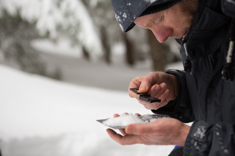
Knowing the snow conditions and the avalanche forecast are essential. Luckily the experts are keeping an eye on things throughout the winter. Photo by Emma Cassidy.
- Northwest Avalanche Center — NWAC is the go to place for avalanche reports. Their detailed avalanche conditions are indispensable. To learn more about avalanche safety, consider taking one of their free avalanche awareness classes.
- Trip reports — Trip reports are a great source of general snow information. Read the most recent trip reports as a start, then research snow forecasts and avalanche conditions to get the full picture.
- Sno-park interactive map — Sno-parks are routinely cleared of snow throughout the winter. This map is useful to double check that a lot has recently been plowed.
- Snow depth map — This map displays snow-depths as modelled by NOAA, using their National Operational Hydrologic Remote Sensing Center (NOHRSC). If that’s too many acronyms for you, just know this topographic map allows you to zero in on an area to get a (very) educated prediction about the snow depth.
- Interactive snow map — If you really want to dig into the snow conditions, this page allows you to view several different data sets in map form. It might take a little while to get the hang of it, but this tool provides a lot of great, detailed information.
Weather Forecast
Knowing an up-to-date, localized forecast is key. Weather can change quickly and drastically, so having an idea of what to expect can help you plan and pack accordingly, or maybe even decide to go somewhere else if a big storm is predicted.

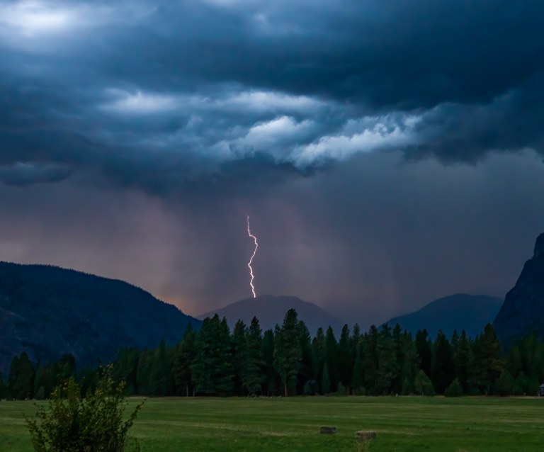
Having an accurate, recent and localized weather forecast will prepare you for the conditions and help you avoid incoming storms. Photo by Charles Clifton.
- National Weather Service — Head over to this site or simply type “weather.gov” into your internet browser. This is the best source for weather because you can click anywhere on the map and get the most accurate forecast for that specific area.
- Hiking Guide — From any hike page you can find a link that says “weather forecast” to the left of the driving directions. The link takes you directly to the National Weather Service forecast for the exact location of the trailhead.
Help Your Fellow Hikers
Write a Trip Report. Hikers rely on trip reports to know what they're getting into when they head out in the winter. Share the conditions you encountered and you will be helping your fellow hikers stay informed. During the winter, it's especially helpful to include details about the road conditions, trailhead conditions, obstacles on trail and snow conditions. Trip reports are also helpful for our trail maintenance crews and land managers who keep track of repairs and maintenance needs. If you want to go the extra step, learn how to write a trip report that helps trail maintenance crews.

