Bill's Peak
-
 Highest Point
- 6,917 feet
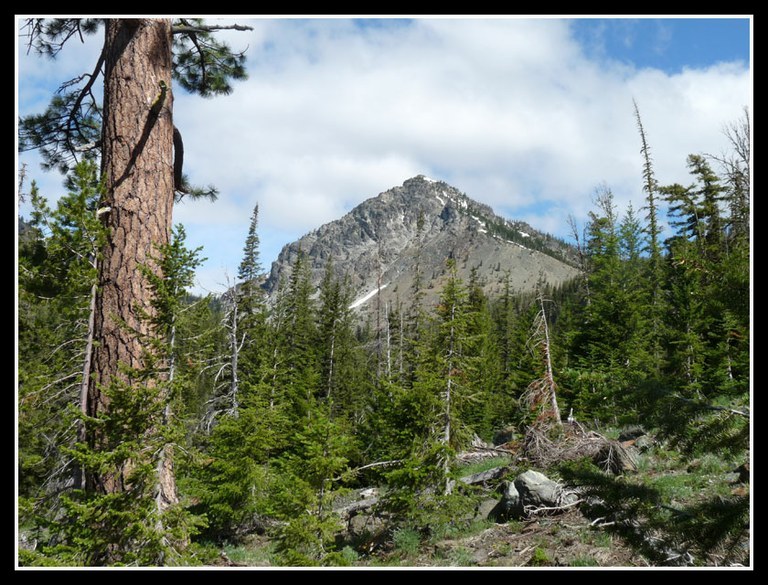


Hiking Bill's Peak
Bill's Peak
Trails for everyone, forever


