 Washington Trails
Association
Trails for everyone, forever
Some tips to reading topo maps, and finding a good hiking map to take hiking.
While often overlooked, navigation is one of the Ten Essentials for a reason. Taking the necessary time to look at a map before heading out on trail can help you assess and plan for what is ahead, and it can potentially save your life. Understanding the basic elements of a map can empower you to stay found, and know what's around you as you navigate safely from point A to point B while on trail.
The most commonly used trail maps are topographic maps, often referred to as topo maps. These maps show detailed information about a region's geographical features. Topo maps can point out places of interest and provide hikers with insights on what to expect.
Studying these maps allows hikers and backpackers to spatially orientate themselves to the surrounding environments, making it possible for them to navigate their way through different types of terrain.
Understanding how to use topographic features such as contour lines, scale and symbology is crucial to navigating while on trail.
It is important to make the distinction between reference maps and navigational topographic maps. Reference maps are useful for preparation but not always the best resource for navigation.
Contour lines and detailed symbology are what separate topographic maps from reference maps. A contour by definition is a line drawn on a map that joins points of equal height above sea level.

Scanned topographic map image showing contour lines and bolded index lines.
A common map scale according to USGS is 1:24,000. The first value "1", represents your unit of measurement, which is 1 inch in the U.S. The second value "24,000" indicates your ground distance, every 1 inch on a map is equivalent to 24,000 inches in the real-world application, which amounts to 2,000 ft. It is important to keep in mind that a map with a smaller scale will show a smaller area but in more detail. On the other hand, a map with a larger scale like 1:69500 will show a larger area of the same region in far less detail.
Scale bar with contour interval measurements.
Symbology refers to how all the features and details within a map are represented and labeled. Maps use what is called vector data to classify information into points, lines, and polygons. To put this into perspective, a campsite is often symbolized with a point, rivers and trails are symbolized by lines, and parcels of land are symbolized by polygons. These features are identified in the legend by various lines, colors, and symbols.
Map legend displaying features and details.
Some may think print maps are a thing of the past when compared to modern GPS technology, but it's always recommended to have a printed map and a compass. You never know when your GPS could run out of battery or even break. The great thing about print maps is they don't make you reliant on battery life and they won't break, especially if you are using a Green Trails Map. The best practice is to double up with print and digital.
Before heading out on the trail, use a map to practice familiarizing yourself with the terrain. Here are three things to practice doing:

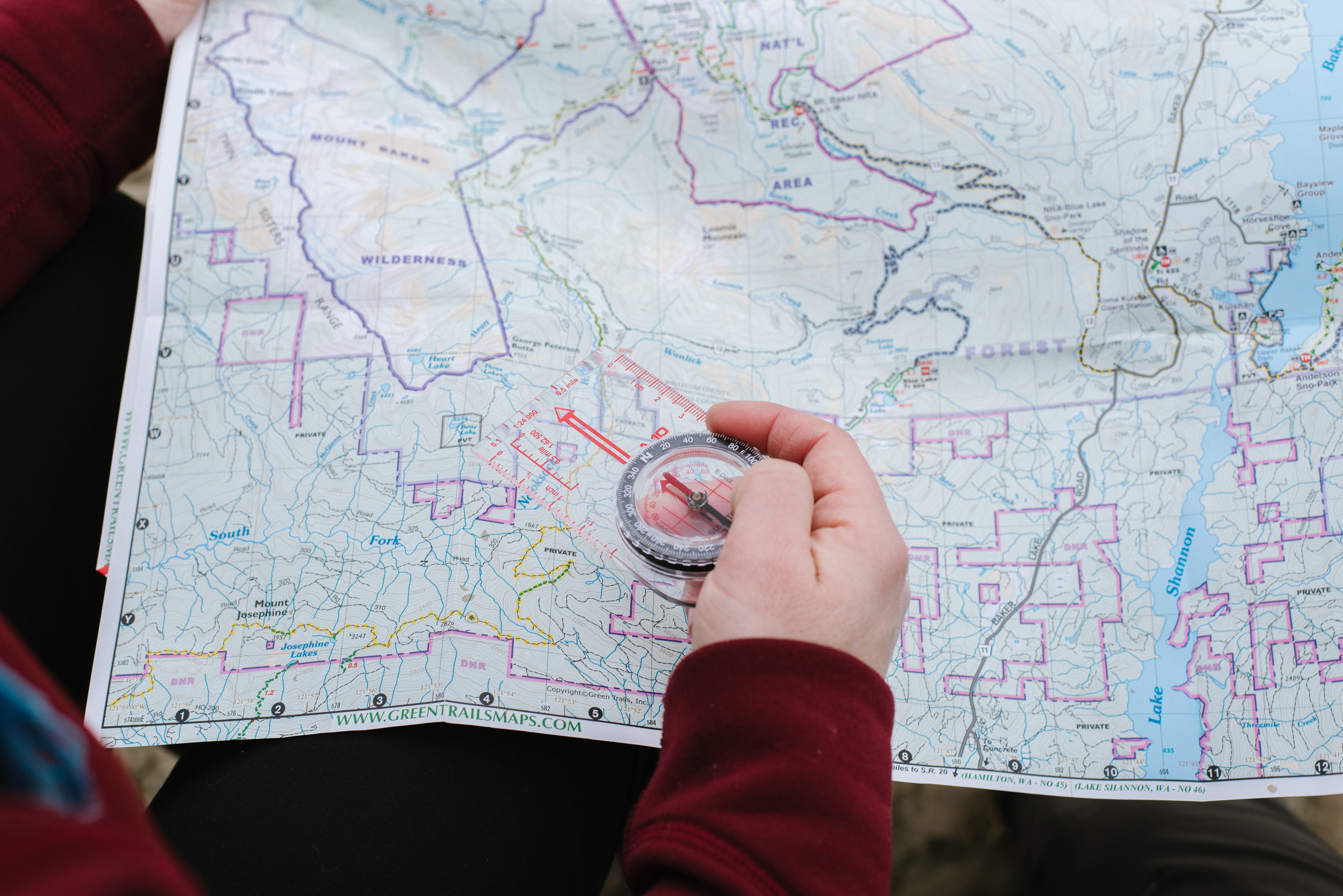
Hiker practices using a topographic map and compass. Photo by Erika Haugen-Goodman
Campsites, river crossings, and trail junctions are all good places to locate yourself on the map, as they are typically well-marketed. During this time it is important to ask yourself questions like:
Having a basic understanding of how to read a map will allow you to answer these questions and more, helping you on your way to being a smarter hiker.

Image of a backpacker crossing a stream. Photo by Scott Franz