Trails for everyone, forever

Home Go Hiking Hiking Guide Capitol State Forest Fuzzy Top

Capitol State Forest Fuzzy Top

Olympic Peninsula > Olympia
46.9375, -123.1630 Map & Directions
Length
1.2 miles, roundtrip
Elevation Gain
240 feet
Highest Point
1,760 feet
Calculated Difficulty About Calculated Difficulty
Easy
Fuzzy Top sign. Photo by Miladugga. Full-size image

This trail is one of the few trails designated as hiker-only, although it is only 0.6 mile one-way. Consider that this is a long drive to a short trail when deciding if it’s worth it to make a trip here. Continue reading

  • Summits

Parking Pass/Entry Fee

Discover Pass
Rating
0.00 out of 5

(0 votes) Log in to rate

Hiking Capitol State Forest Fuzzy Top

This trail is in Capitol State Forest, a large piece of public land managed by the Washington Department of Natural Resources near Olympia. This area supports timber harvests as well as a variety of recreationists like hikers, off-road vehicle drivers, horseback riders and mountain bikers. Target shooting is also allowed in certain areas of the forest.

This trail is one of the few trails designated as hiker-only, although it is only 0.6 mile one-way. Consider that this is a long drive to a short trail when deciding if it’s worth it to make a trip here.

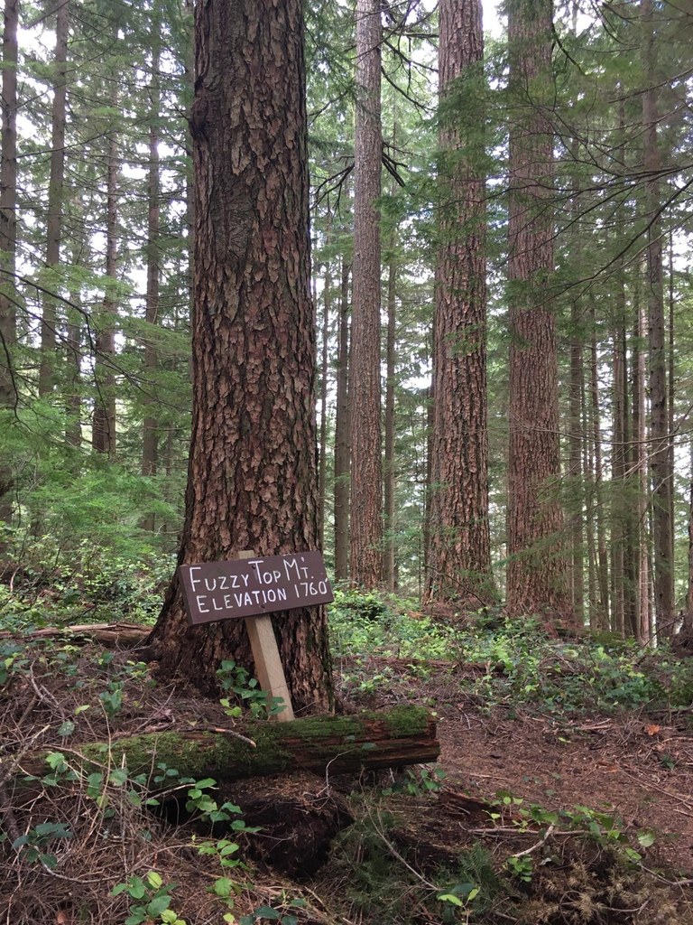
After driving up the D-Line road, arrive at the trailhead. From here, head out into the trees on a trail with some gentle ups and downs. After a few short switchbacks, arrive at the high point dubbed fuzzy top.

Hike Description Written by
Multiple authors contributed to this report, WTA Community

Capitol State Forest Fuzzy Top

Map & Directions

Trailhead
Co-ordinates: 46.9375, -123.1630 Open in Google Maps

Before You Go

See weather forecast

Parking Pass/Entry Fee

Discover Pass

WTA Pro Tip: Save a copy of our directions before you leave! App-based driving directions aren't always accurate and data connections may be unreliable as you drive to the trailhead.

Getting There

From Olympia drive south on I-5 for about 10 miles, then take exit 95 toward Maytown Road. Stay left to get on Maytown Road for 4 miles. Turn left on Mima Road for 1.3 miles. Turn right onto Bordeaux Road for 3.6 miles, then turn right onto Capitol Forest Road for 4.7 miles, then turn right onto D-Line Road for 2.7 miles. Turn right onto D-1000 road for 4 miles, then turn right onto D-1500 for 1.3 miles to the trailhead on the left.

More Hike Details

Trailhead

Olympic Peninsula > Olympia

Washington State Department of Natural Resources

You can improve or add to this guidebook entry

Capitol State Forest Fuzzy Top

2 Trip Reports

Hiked here recently?

Submit a trip report!
 
Trip Reports