
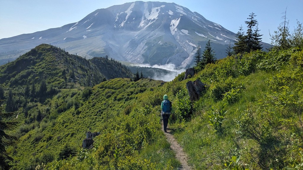

This trail creates a connection between the Loowit Trail and Weyerhauser Road 3000. This ridgetop hike offers views of the blast area, Mount St. Helens, the South Fork Toutle River, and Castle Lake.
A trip down the unmaintained Castle Lake Trail 221 brings you through the effects of the 1980 eruption to the shore of Castle Lake.
The lake was created when the debris avalanche dammed South Fork Castle Creek. Passing through boggy areas and paralleling Castle Creek, the trail circles around the ridge separating Castle Creek and Castle Lake. Wildlife, including elk and waterfowl, can often be seen.
 Trailhead


