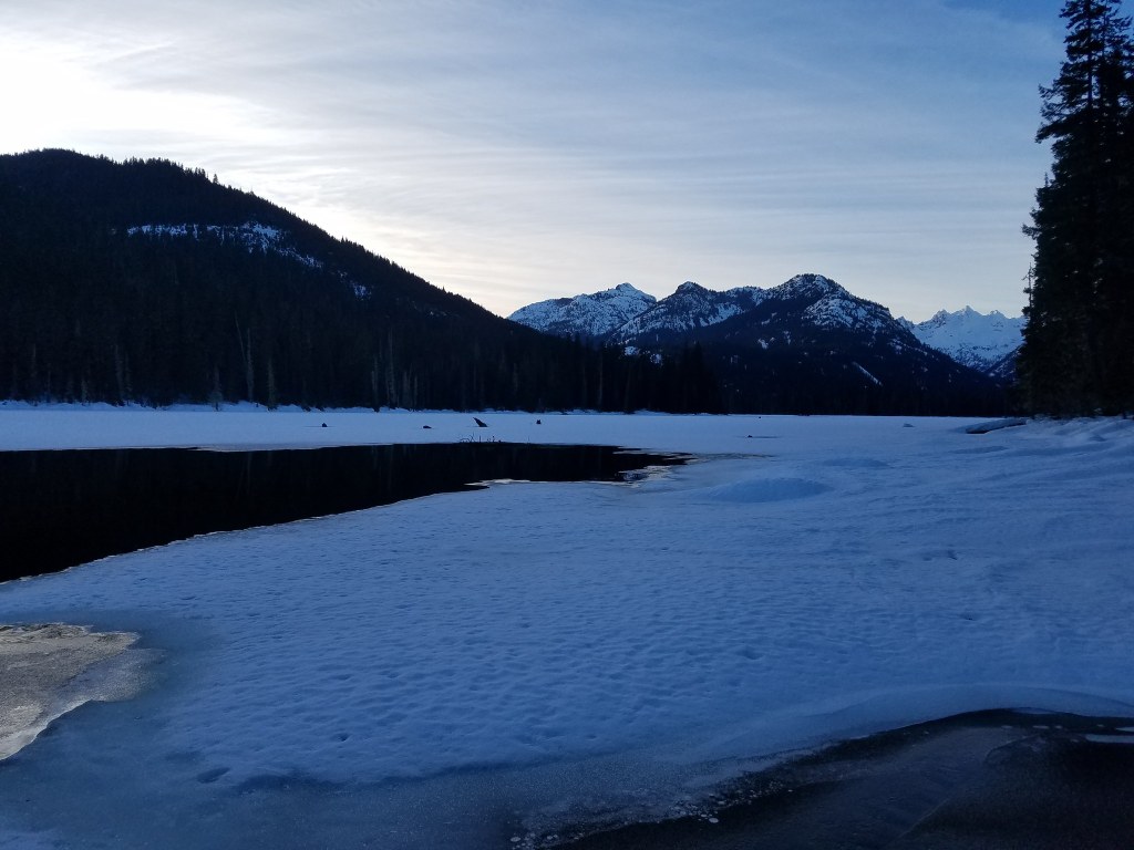

Snowshoe around a lake in the Salmon La Sac area; you'll share the area with motorized users, as well.
Cooper Lake Snowshoe

-
 Length
- 10.0 miles, roundtrip
-
 Elevation Gain
- 500 feet
Snowshoe around a lake in the Salmon La Sac area; you'll share the area with motorized users, as well.
Continue reading
Hiking Cooper Lake Snowshoe
Cooper Lake Snowshoe
Map & Directions
 Trailhead
Before You Go
Parking Pass/Entry Fee
Sno-Parks PermitWTA Pro Tip: Save a copy of our directions before you leave! App-based driving directions aren't always accurate and data connections may be unreliable as you drive to the trailhead.


