

Not every trail gives a wilderness experience. Sometimes you want a close-in hike to walk the pup, or a leg stretcher to break up a long drive. The Coweeman River Trail fits the bill. This is a relatively flat walk on a gravel-topped dike, though it is unfortunately not very suitable for wheelchairs.
From the Allen Street trailhead, start walking on the dike immediately after passing through a gate. Reach the Coweeman River in a quarter mile. On the north side of the river, you first pass an RV park, then Tam O’Shanter Park, Kelso’s biggest park. The far side of the river presents a more bucolic scene, with a few houses and fields, but mostly forested hills in view. This is the most popular part of the trail.
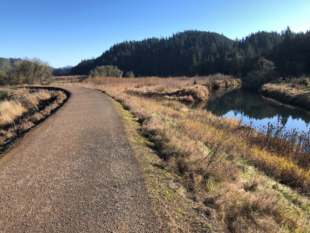
After 1.5 miles, pass under I-5, and pass a Mexican restaurant and a Dairy Queen in quick succession. Now the trail’s character changes. Pass under I-5 again and walk in a narrow strip of land between the freeway and the river. The other side of the river is prime riparian habitat and you might see some ducks. This section of trail also has a west-of-I-5 alternate on a closed dirt road.
After a third crossing under I-5, the trail, still on the dike, goes between the river on the east and an industrial park to the west. This part of the trail is less used. Eventually, you will reach the southern trailhead on Talley Way just before the Coweeman flows into the Cowlitz. Here you are quite likely to see a train on the Union Pacific mainline, which crosses the Coweeman on a trestle right at the mouth of the river. Return the way you came. Please do not access the river from the trail as the trail is located on a levee.
Pro Tip: During flood season, the Coweeman River can be a raging torrent, and walking along its dikes can be hazardous.
 Trailhead


