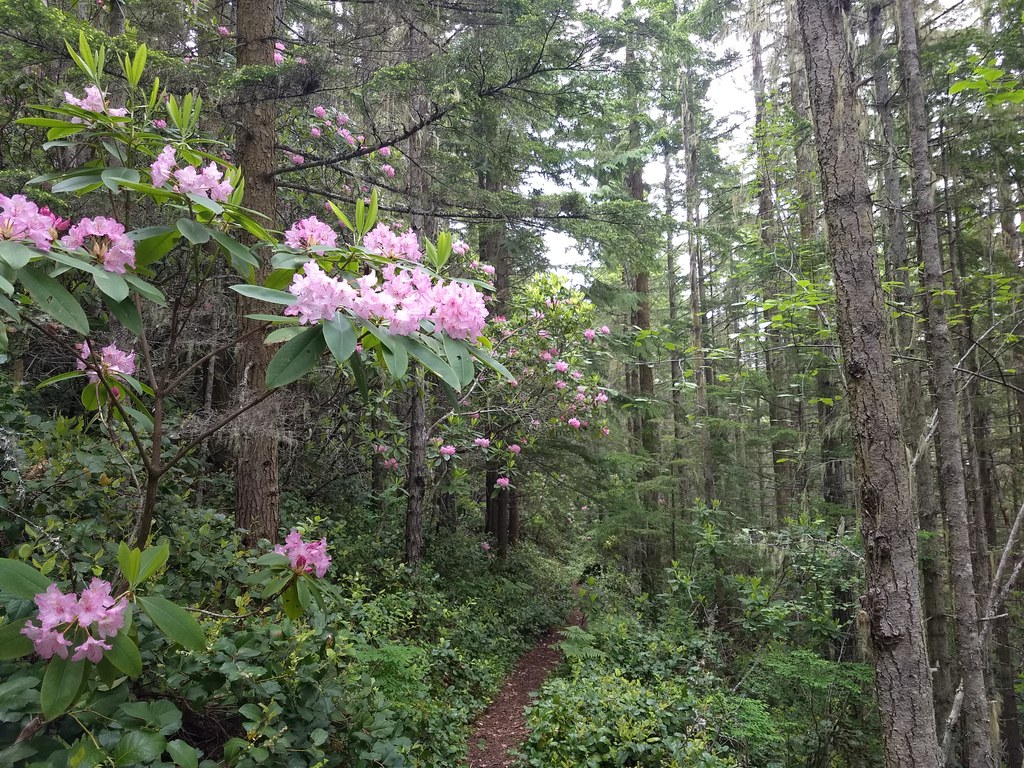

Hike through a tunnel of rhododendron blooms and second-growth forest to views of the Olympic Peninsula interior and a carpet of wildflowers. Hike this route in the early summer and you may be lucky enough to see Deer Park with no cars, since the road to Deer Park often doesn't open until late in the season.
At the trailhead, two ways diverge. You'll want the right-most trail, which cuts through a meadow and then almost immediately begins climbing up a ridgeline.
At first, the elevation gain is gentle, and you can amble along among the pink clouds of spring and early-summer rhodies, but after 1.5 miles, the grade intensifies. In this section, you'll cross a small trickle, your only water source for this hike, so fill up if you need to!
Continue another 1.2 miles through open forest with minimal views, but nice trees (though the rhododendrons disappear in this section). After a final steep push around a switchback, you'll arrive at an overlook of the Gray Wolf valley, dramatic and breathtaking when its clear. Just up the hill from this overlook are two benches. one was the original memorial for Phil Hall, a resident of Sequim who spent much of his time ensuring this trail stayed accessible and well-maintained.
The other bench simply offers a break for the weary, or a turnaround point for those hiking with dogs. It's just another 0.6 miles to the border with Olympic National Park and these views are as good as it gets before then.
If you're continuing on, climbing at a slightly more moderate (but always upward) grade. You'll continue another 0.6 miles to the boundary with Olympic National Park. At the boundary, you'll have a short downhill jaunt before climbing again. In your second climb, you'll pass through wide-open rock fields and meadows. Look for stonecrop and phlox in the rockfields and chocolate lilies, columbine, buttercup and lupine in the meadows.
1.2 miles past the park boundary is a junction with the Three Forks Trail, which plunges into the Gray Wolf River valley and deep backcountry destinations like Cameron Pass. But you've almost arrived at your destination: Deer Park campground.
Continue a few hundred feet more, popping out into the parking area near the east side of the Deer Park campground. From here, you have choices. Stop here and find a spot for lunch (the picnic table outside the usually-closed ranger station is a good option), or hike up the road to the Rainshadow Loop trail. If you really want to log miles, Deer Park is the starting point for the hike to Maiden Peak. You can find the trail for that near the ranger station, on the other side of the campground.
 Trailhead