
A scramble to Del Campo Peak from Gothic Basin. Class 3 or 4. Helmets, gear, and technical expertise required.
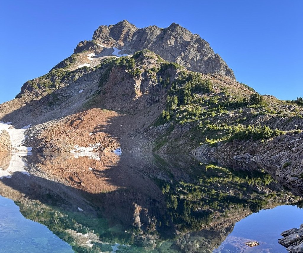
If you still have energy left after reaching Gothic Basin, search for a light boot trail up towards Del Campo Peak. The trail leads to the base of the talus. This is a great stopping point for those who prefer to hike rather than climb or scramble. The views here are great, one can see the whole basin, a birds eye of Foggy Lake and on a clear day like today all the way to Mt. Rainier.
Should you decide to tackle the summit, know that it is incredibly steep, and a fatal fall is never more than a misstep away. If you're experienced and well-equipped, your reward is breathtaking views of Seattle, Everett, Rainier, Baker, Glacier Peak and everything in between.
Del Campo Peak

-
 Length
- 11.0 miles, roundtrip
-
 Elevation Gain
- 4,200 feet
-
 Highest Point
- 6,610 feet
Parking Pass/Entry Fee
Northwest Forest Pass
A scramble to Del Campo Peak from Gothic Basin. Class 3 or 4. Technical expertise required.
Continue reading
Hiking Del Campo Peak
Del Campo Peak
Map & Directions
 Trailhead
Before You Go
Parking Pass/Entry Fee
Northwest Forest PassWTA Pro Tip: Save a copy of our directions before you leave! App-based driving directions aren't always accurate and data connections may be unreliable as you drive to the trailhead.


