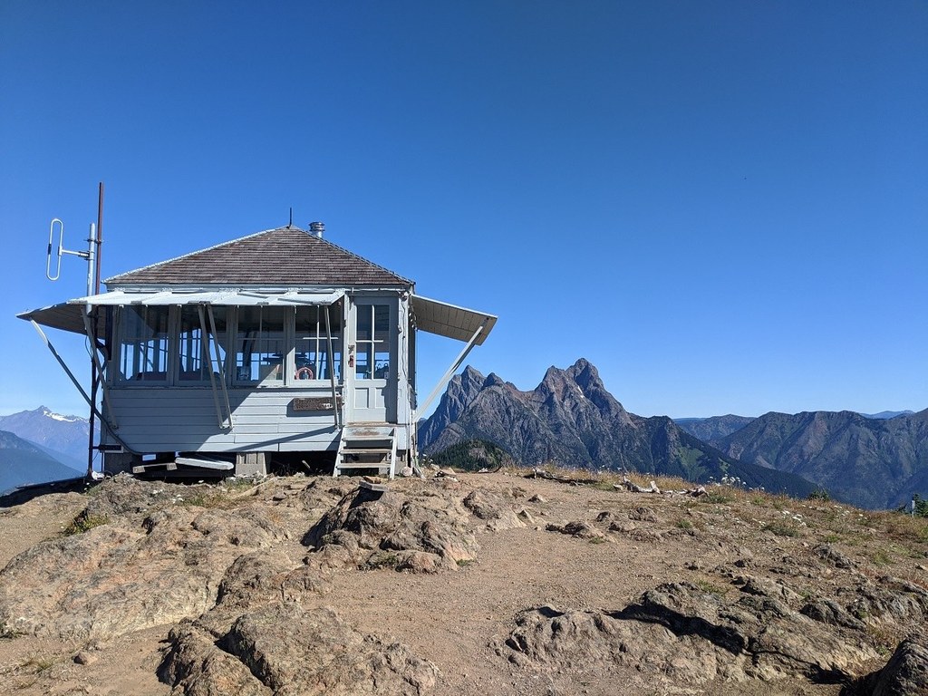

Trek a dry, strenuous trail to a famous fire lookout. Jack Kerouac stayed here as a lookout and used the experience to inspire Desolation Angels and Dharma Bums. The historic lookout is no longer accessible to the public, but you can still trek to the location and appreciate the view.
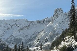
The trail begins on the East Bank Trail with views of Ross Lake. Two miles in, the trail turns east and begins climbing. You'll pass through cool forest and along a creek (fill up before you leave it, there's no more water available on this hike). The trees taper away into the subalpine vegetation. As the trees get disappear, the views improve! You can see Hozomeen Mountain in Canada to the north, the Pickets and Ross Lake to the west, and Jack Mountain to the south.
It's a challenging trek, climbing 4400 feet to the lookout perched on the top of the peak and at the northern edge of the country. You can see well into Canada from here.
Note: The hike is 9.4 miles from the Desolation boat dock, which requires hikers to arrange water taxi transport to the boat dock or a hike in. If you are starting from the East Bank trailhead at Highway 20, the hike is much longer, at around 46 miles roundtrip.
 Trailhead