
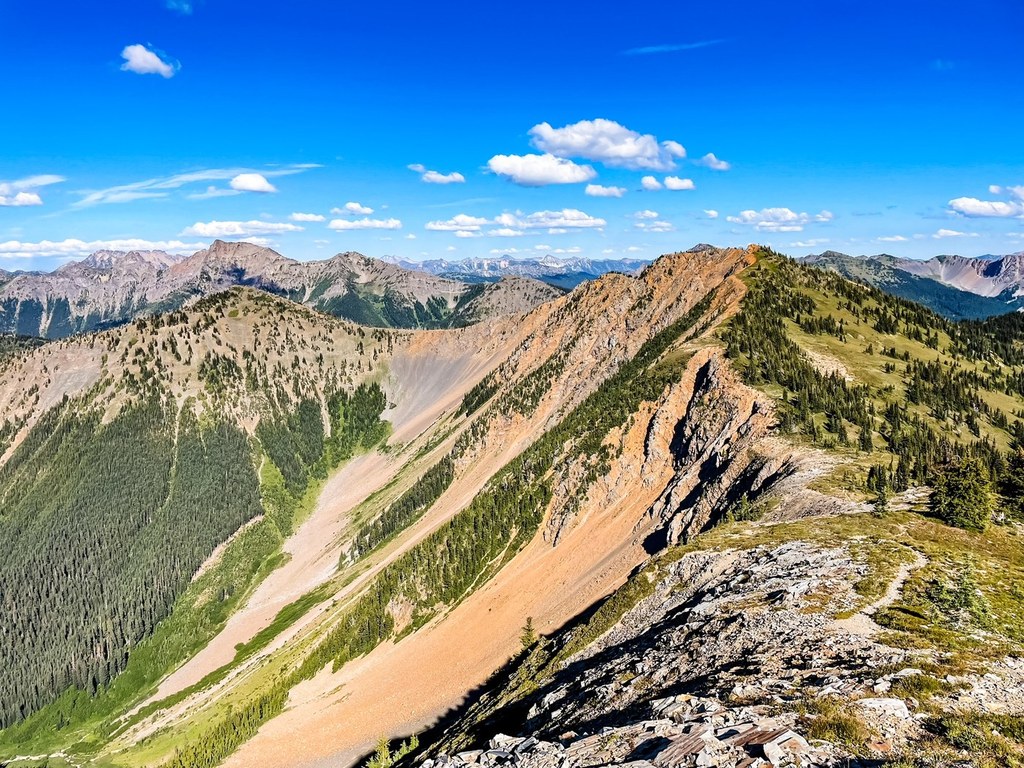

This Pasayten Wilderness trail connects the PCT to the Ross Lake National Recreation Area. Make your way east to west beginning at Holman Pass. Walk along side hill, skimming the timberline as you traverse the ridge. There are a few trails that connect to this one, giving hikers a variety of options for overnight trips. Enjoy views of peaks from the ridge, wildflowers in the summer, and the popular Devil's Dome.
Starting from Holman Pass, the trail quickly ascends the ridge through a few switchbacks. Make your way through the trees to Sky Pilot Pass, where the trail meets with the Canyon Creek trail. Continue right to stay on the trail towards Devil's Dome, and dip back down through Deception Pass. Keep an eye out for black bears exploring the sides of the ridge in search of berries.
Past Deception Pass, the trail continues to roll along the ridge to Devil's Pass. This is the junction with the Jackita Ridge trail. Turn right, and make your way towards Devil's Dome. Jack Mountain is ahead and to the left. The views on all sides are spectacular. As you continue along the ridge, pass over the top of Devil's Dome and Dry Creek Pass. A side trail takes you towards Spratt Mountain, but not all the way there.
The rest of the trail descends back through the meadows and into the trees. After 4.3 miles, hit the border of the Ross Lake Recreation Area, where the Forest Service trail ends and the Devil's Dome Trail begins. The trail continues for a mile to Devil's Junction Camps, where it ends. In the fall, the trees turn brilliant shades of yellow and red.
This trail is part of WTA's Lost Trails Campaign. Learn more about how we're saving lost trails across the state here.

 Trailhead


