

As documented in government maps from the 1920’s, a trail went about 45 miles between the Methow and Skagit rivers, going over Washington and Rainy passes. This has existed as a trade route for the Indigenous tribes for many centuries before. The Early Winters Trail #522 is a 3.8 mile section near the eastern end of the original trail. Most of the original trail has been abandoned and State Route 20, the North Cascades Highway, parallels and overlays portions of it.
The following trail description is for the 3.8 miles of the official trail. This limited description is consistent with agreements between WTA and USFS. Trip Reports from individuals describe additional sections of the abandoned trail.
The trail starts in Klipchuck Campground, at site #7. It is marked by a sign, set back from the road indicating the Early Winters Trail goes to State Route 20. The first mile of the trail is through old growth forest where the initial understory is silvercrown with a sprinkling of paintbrush. After the bridge over Indian Creek, the understory changes to low brush which increases to shoulder high with a few sunflowers by the end of the first mile.
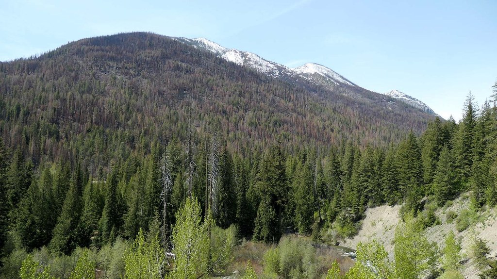
The second mile starts with a short traverse across a steep hillside on a narrow, downsloped trail, with views of Early Winters Creek about 150 feet below and across the valley up Varden Creek. This is the first of many avalanche chutes and rockslides from Delancy Ridge that cut through the forest. After the short traverse, the trail remains in the forest with head-high brush increasing to very tall brush (more than 8ft) by the end of the second mile.
The third mile has an up valley view of the Needles on Delancy Ridge. It continues with a quarter mile of tall brush before a quarter mile traverse across a rockslide on a nice trail.
After the rockslide, the brush continues, gradually decreasing to knee high by the end of the trail at 3.8 miles. There are a few areas of lupine and paintbrush through this last section.
WTA Pro Tip: When not recently maintained, this trail will have many logs to go over/under/around and the brush will completely obscure the trail in long sections of the middle 2 miles, making navigation and travel extremely difficult.

 Trailhead


