Trails for everyone, forever

Home Go Hiking Hiking Guide Taylor Mountain - Elk Ridge Trail

Taylor Mountain - Elk Ridge Trail

Issaquah Alps > Taylor Mountain
47.4148, -121.9256 Map & Directions
Length
1.6 miles, one-way
Elevation Gain
500 feet
Highest Point
1,200 feet
Calculated Difficulty About Calculated Difficulty
Easy
Elk Ridge Trail. Photo by Suhleenah. Full-size image

Enjoy a short hike through lush greenery on this newly renovated trail. Continue reading

  • Wildlife
  • Dogs allowed on leash
  • Fall foliage
Rating
3.00 out of 5

(2 votes) Log in to rate

Hiking Taylor Mountain - Elk Ridge Trail

Taylor Mountain is a newer addition to the King County Parks system, standing out for its intersecting network of narrow trails and wide roads, and for its history of different land use practices. Between the 1880s and 1970s, the forest was repeatedly logged, and even hosted 15 miles of railroad and a handful of sawmills. Currently, it is a Forest Stewardship Council certified working forest, emphasizing sustainable management practices as well as recreation for hikers, mountain bike riders, and horseback riders.  

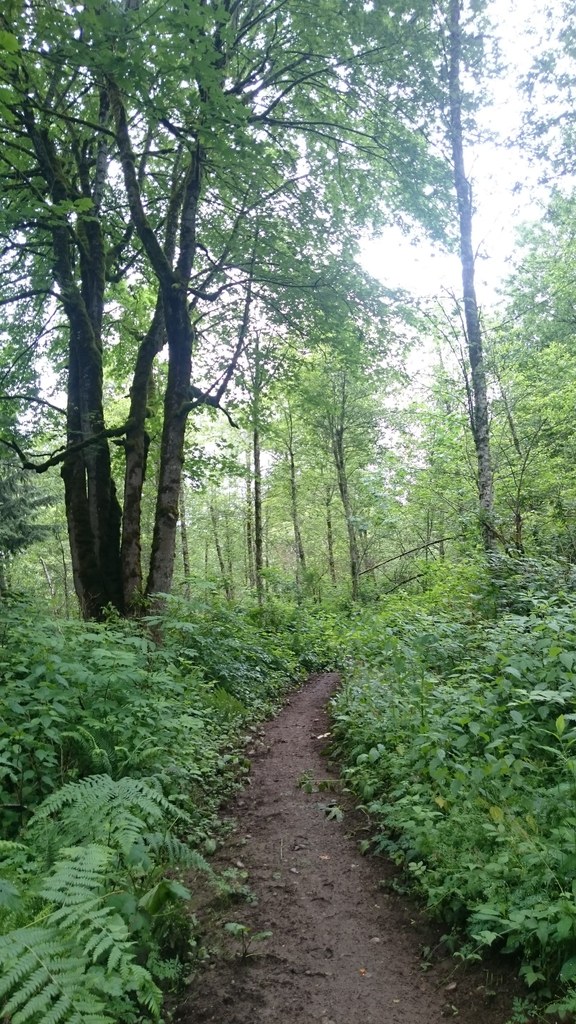
This recently improved trail has been rerouted onto solid tread to avoid a muddy section that once caused perennial woe to hikers and horses alike. Leave your car and go past a gated entrance to a short walk along an access road that leads to the official start of the Elk Ridge Trail. Notice the solid ground beneath your feet and thank the coordinated effort between King County Parks, WTA and many hardworking volunteers to improve this section. Ahhh, that new trail smell! From here, a medium incline takes you across beautiful lush slopes. Up ahead are some steep sections before the trail crests out at a high point. This section of the Taylor Mountain Forest is on City of Seattle Cedar Watershed property. Signs along the edge of the trail remind hikers not to wander into off-limits areas. After a creek crossing, follow a gentle traverse to trail’s end. At this point, either continue on to the Hermit Trail, connect to any number of other trails, or head back and call it a day.

WTA worked here in 2020 and 2018!

Taylor Mountain - Elk Ridge Trail

Map & Directions

Trailhead
Co-ordinates: 47.4148, -121.9256 Open in Google Maps

Before You Go

See weather forecast

WTA Pro Tip: Save a copy of our directions before you leave! App-based driving directions aren't always accurate and data connections may be unreliable as you drive to the trailhead.

Getting There

From I-90, take exit 25 and head south on highway 18. Take the exit for Issaquah-Hobart Road and turn south on Issaquah-Hobart Road. After 1.6 miles, turn east on SE 208th St. After two miles you will arrive at the Trailhead. Use the gravel pull-outs on either side of the road to park. Be courteous to horseback riders by leaving room for horse trailers. Please do not block the gates. 

More Hike Details

Trailhead

Issaquah Alps > Taylor Mountain

King County Parks

Guidebooks & Maps

King County

Taylor Mountain Forest Map

Buy the Green TrailsTiger Mountain No. 204S map

You can improve or add to this guidebook entry

Taylor Mountain - Elk Ridge Trail

9 Trip Reports

Hiked here recently?

Submit a trip report!
 
Trip Reports