Trails for everyone, forever

Home Go Hiking Hiking Guide Franklin Falls - Winter

Franklin Falls - Winter

Snoqualmie Region > Snoqualmie Pass
47.4126, -121.4411 Map & Directions
Length
7.0 miles, roundtrip
Elevation Gain
800 feet
Highest Point
2,600 feet
Calculated Difficulty About Calculated Difficulty
Moderate

The Franklin Falls Sno-Park is closed for the 2025-2026 season. See description for details on the winter hike.

A creek along the way to Franklin Falls. Photo by LuBlair. Full-size image
  • Dogs allowed on leash
  • Rivers
  • Waterfalls

Parking Pass/Entry Fee

Sno-Parks Permit
Saved to My Backpack

This popular summer trail off I-90 changes quite a bit during the winter months. Note that there is considerable avalanche danger at the falls. (During the 2025-2026 winter season, the Franklin Falls Sno-Park will be closed, making the hike around 7 miles roundtrip.) Continue reading

Rating
0.00 out of 5

(0 votes) Log in to rate

Hiking Franklin Falls - Winter

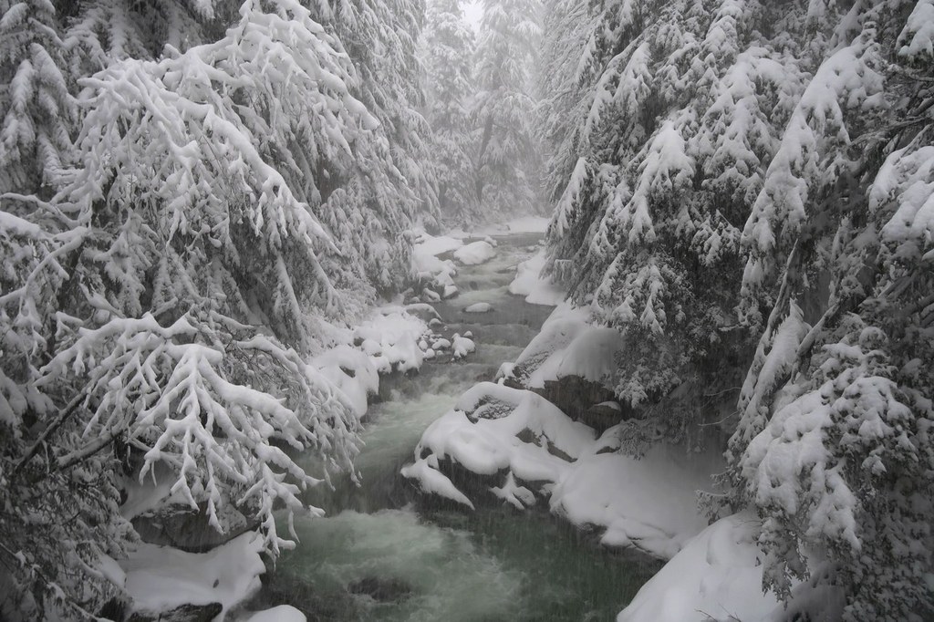
The falls flow year-round, and the icicle formations clinging to the surrounding rock face are absolutely spectacular — well worth the trip.

The Franklin Falls Sno-Park will not operate for the 2025-2026 season, and the gate to Denny Creek Road will be closed to motorized vehicles.

Hikers will need to park at the Asahel Curtis Sno-Park parking area (which is along FR 9035 before the Asahel Curtis picnic area this year), which requires a sno-park permit, and hike/snowshoe approximately 3.5 miles one-way along Denny Creek Road and the Franklin Falls trail to reach the falls. 

Be aware that avalanche danger is considerable near the falls. Always check the avalanche forecast at the Northwest Avalanche Center. Because the waterfall basin sits at the bottom of an avalanche chute, hikers are strongly discouraged from entering that area.
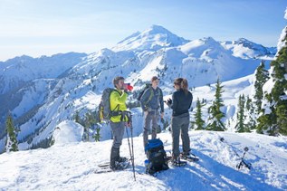
Toilet Information

  • Toilet at trailhead

More information about toilets

WTA worked here in 2022, 2021, 2018, 2017 and 2016!

Hike Description Written by
Multiple authors contributed to this report, WTA Community

Franklin Falls - Winter

Map & Directions

Trailhead
Co-ordinates: 47.4126, -121.4411 Open in Google Maps

Before You Go

This trail ends at the bottom of an avalanche chute — be aware of avalanche danger.

The Franklin Falls Sno-Park is closed for the 2025-2026 season. See description for details on the winter hike.

See weather forecast

Parking Pass/Entry Fee

Sno-Parks Permit

WTA Pro Tip: Save a copy of our directions before you leave! App-based driving directions aren't always accurate and data connections may be unreliable as you drive to the trailhead.

Getting There

From I-90, west of Snoqualmie Pass, take exit 47, then turn north at the end of the off-ramp and head a few hundred feet to a T intersection. Turn right here to find the beginning of the sno-park. Park along the edge of the road. A Sno-Park Permit is required to park here during the winter.

More Hike Details

Trailhead

Snoqualmie Region > Snoqualmie Pass

Franklin Falls (#1036)

Mt. Baker-Snoqualmie National Forest, Snoqualmie Ranger District

Guidebooks & Maps

https://mtsgreenway.org/wp-content/uploads/2024/12/franklin-snopark-map-red-v4-300ppi-1.jpg

Buy the Green Trails Snoqualmie Pass No. 207 map

You can improve or add to this guidebook entry!

Franklin Falls - Winter

525 Trip Reports

Hiked here recently?

Submit a trip report!
 
Loading trip reports...
Trip Reports