Trails for everyone, forever

Home Go Hiking Hiking Guide French Creek

French Creek

Central Cascades > Leavenworth Area
47.6294, -120.9653 Map & Directions
Length
14.4 miles, one-way
Elevation Gain
3,200 feet
Highest Point
6,100 feet
Calculated Difficulty About Calculated Difficulty
Hard

5/15/2021 - Trail inaccessible: Bridge out

Confluence of French and Icicle Creeks. Photo by Suhleenah. Full-size image
  • Mountain views
  • Wildlife
  • Rivers
  • Dogs allowed on leash
  • Ridges/passes

Parking Pass/Entry Fee

Northwest Forest Pass
Saved to My Backpack

One of many trails in this area that create tons of fun loop options, the French Creek Trail is 14.4 miles long, and gains 3200 feet of elevation along its length. Due to diminishing funding, the trail is very brushy in sections, making it difficult to navigate. Hiking it end-to-end makes for a fun traverse through the heart of the Alpine Lakes Wilderness, and over county lines! Continue reading

Rating
0.00 out of 5

(0 votes) Log in to rate

Hiking French Creek

One of many trails in this area that create tons of fun loop options, the French Creek Trail is 14.4 miles long, and gains 3200 feet of elevation along its length. Due to diminishing funding, the trail is very brushy in sections, making it difficult to navigate. Hiking it end-to-end makes for a fun traverse through the heart of the Alpine Lakes Wilderness, and over county lines!

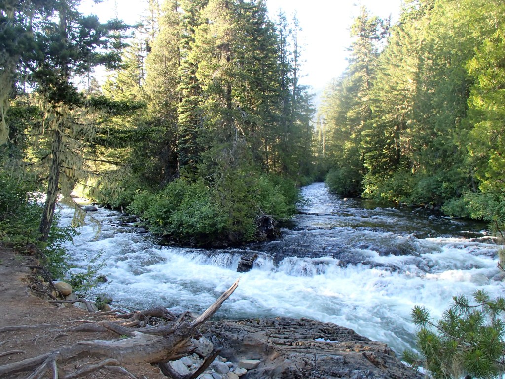
The trail has no trailhead of its own, instead branching off from the Icicle Creek Trail, then switchbacking steadily uphill for about a half-mile. After the initial climb, the grade moderates, weaving through the valley bottom alongside French Creek.

At about 3.5 miles, the trail meets up with French Ridge Trail, which heads northwest. Your route, on French Creek, continues southwest, eventually coming to a junction with Snowall Creek Trail after 1.1 miles past the French Ridge trail junction.

Soon you'll arrive at another junction, this one for Klonaqua Lakes, which heads west. If you're not heading to the lakes, the French Creek trail continues paralleling the creek heading south and crossing many streams and creeks, until it intersects with Meadow Creek Trail after 3.7 miles.

From here, the trail climbs steeply southeast, until it ascends Paddy-Go-Easy Pass and crosses county lines. The trail descends steeply from the pass for the last 3.0 miles, dropping through heavy forest and ending at Cle Elum River Road / Forest Road 4330.

WTA worked here in 2018!

Hike Description Written by
Multiple authors contributed to this report, WTA Community

French Creek

Map & Directions

Trailhead
Co-ordinates: 47.6294, -120.9653 Open in Google Maps

Before You Go

5/15/2021 - Trail inaccessible: Bridge out

See weather forecast

Parking Pass/Entry Fee

Northwest Forest Pass

WTA Pro Tip: Save a copy of our directions before you leave! App-based driving directions aren't always accurate and data connections may be unreliable as you drive to the trailhead.

Getting There

The trail begins 1.5 miles up the Icicle Creek Trail, which starts from the same trailhead. Head east on Highway 2 toward Icicle Road, on the western edge of Leavenworth. Turn right onto Icicle Road and proceed for 1.9 miles, then continue onto Icicle Creek Road for 6.5 miles. Continue straight onto Route 76/NF-7600, and proceed on this road for 8.1 miles. Trailhead is at the end of the road, just past the turnoff for the horse camp.

More Hike Details

Trailhead

Central Cascades > Leavenworth Area

French Creek (#1595)

Okanogan-Wenatchee National Forest, Wenatchee River Ranger District

You can improve or add to this guidebook entry!

French Creek

42 Trip Reports

Hiked here recently?

Submit a trip report!
 
Trip Reports