
You’ll start by walking the decommissioned road for .25 miles. Plant your feet carefully here, as the road is nearly overgrown with willows and other brush. Keep your eyes peeled as you continue, because after that .25 miles you’ll find a rough trail cutting off to the right through an old timber operation. Scout for cairns as the tread is difficult to follow without them. At just shy of .5 miles, the trail suddenly becomes infinitely better, with solid, followable tread.
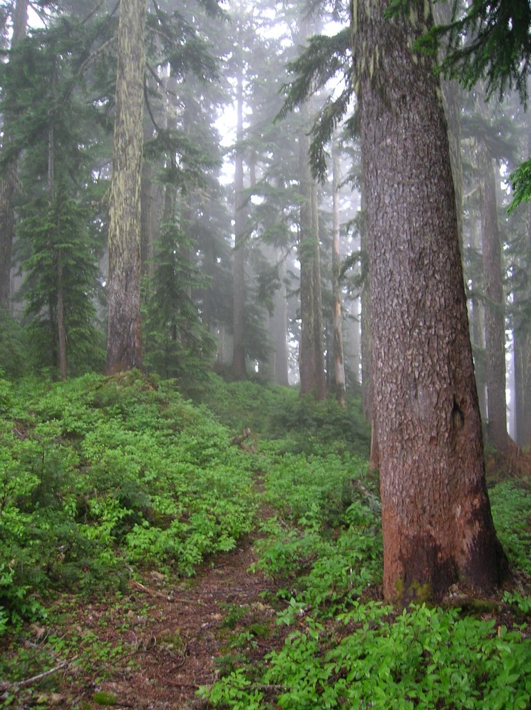
This part of the trail is characterized by old forest—stands of ancient fir and hemlock throng the trailside. Before long, you’ll stroll into a perfect, flat and grassy meadowland. Dropping just a bit, you’ll find an old cabin site. Turn left to keep out of the rocks. The trail climbs here, taking you back along the summit crest.
The path here is a bit more scrambly than elsewhere along this trail. Take your time as you contour up to the old lookout site, and you’ll be fine. The former lookout—now entirely gone—is at 4,974 feet, and is a great place to rest after a nice climb.
Gee Point

-
 Length
- 3.0 miles, roundtrip
-
 Elevation Gain
- 700 feet
-
 Highest Point
- 4,974 feet
A mix of light bushwhacking and free-and-easy rambling, Gee Point is a quick hike into some of the prettiest—and least-known—country anywhere in the Cascade Range.
Continue reading
Parking Pass/Entry Fee
NoneHiking Gee Point
Map & Directions
 Trailhead
Before You Go
Parking Pass/Entry Fee
NoneWTA Pro Tip: Save a copy of our directions before you leave! App-based driving directions aren't always accurate and data connections may be unreliable as you drive to the trailhead.
Getting There
From Burlington, take State Route (SR) 20 (North Cascades Highway) east. Just past Concrete and milepost (MP) 88, turn right on the Concrete-Sauk Road. Cross the Skagit River in one mile and bear left. Go for around 8.8 miles and turn right onto forest road (FR) 17. Go 10.5 miles and turn right on FR 1720. Follow 1720 for 2.1 miles and bear right onto FR 1722. Go 5.4 miles to the road end where the trail starts on a decommissioned road.