Trails for everyone, forever

Home Go Hiking Hiking Guide Glendale Forest

Glendale Forest

Puget Sound and Islands > Seattle-Tacoma Area
47.5121, -122.3213 Map & Directions
Length
0.25 miles of trails
Elevation Gain
0 feet
Highest Point
200 feet
The trail into Glendale Forest. Photo by Kaci Darsow. Full-size image
  • Fall foliage
  • Good for kids
  • Wildlife

Parking Pass/Entry Fee

None
Saved to My Backpack

Through the efforts of WTA, King County Parks, Earth Corps and other community partners, this small 5-acre forest has become a green oasis within the North Highline area of Seattle. Continue reading

Rating
0.00 out of 5

(0 votes) Log in to rate

Hiking Glendale Forest

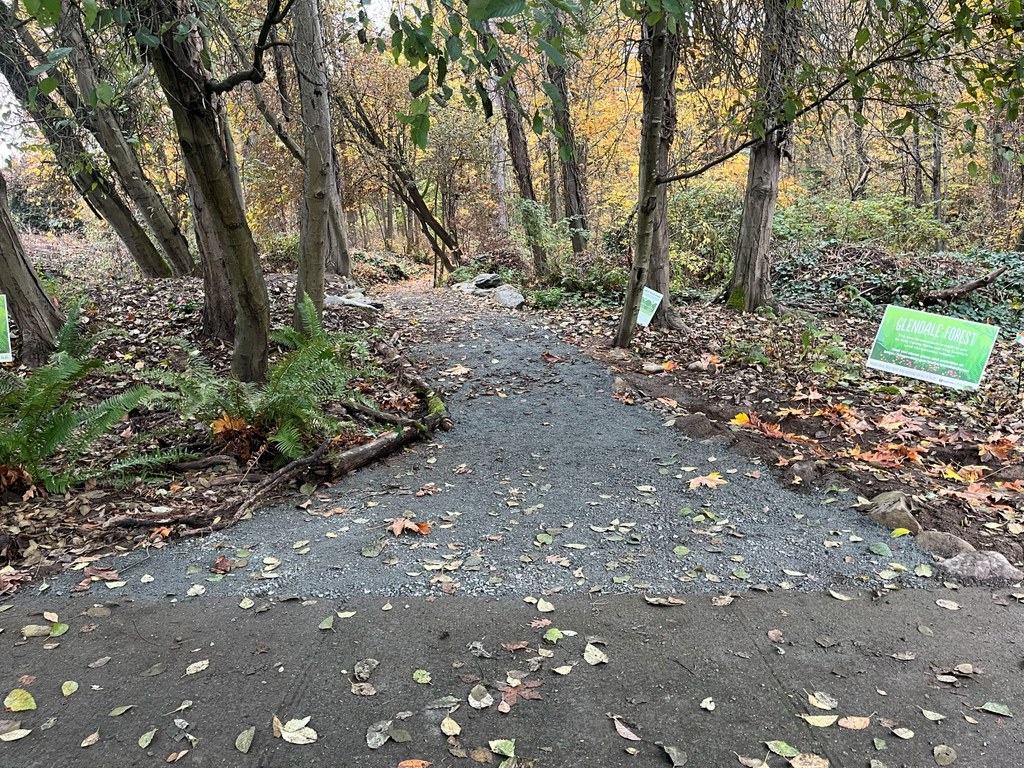
In 2020, King County Parks acquired the 5 acres of Glendale Forest in the North Highline neighborhood, an area that has historically lacked much green space. Since then, WTA has hosted over 80 work parties to help transform the area from a weed-infested, trail-less forest into a welcoming park with a trail system. 

There are two trails visitors can explore that extend across the forest. 

Toilet Information

  • No toilet at trailhead

More information about toilets

WTA worked here in 2024, 2023, 2022 and 2021!

Glendale Forest

Map & Directions

Trailhead
Co-ordinates: 47.5121, -122.3213 Open in Google Maps

Before You Go

See weather forecast

Parking Pass/Entry Fee

None

WTA Pro Tip: Save a copy of our directions before you leave! App-based driving directions aren't always accurate and data connections may be unreliable as you drive to the trailhead.

Getting There

Glendale Forest is in the North Highline neighborhood, and there is no designated parking area. Please consider taking public transit to the forest. 

To enter the forest, head to the intersection of S 102nd Street and 9th Avenue S, which ends at a fenced corner. Enter through the opening in the fence and follow the paved walkway for a short way. The trailhead to the forest will be on your left. 

Take transit

Take King County Metro route 132 to the Des Moines Memorial Dr S & S 99th St stop and walk east along S 99th Street for 0.2 mile until the road takes a sharp left. Continue onto 14th Avenue S to the next intersection and turn right onto S 100th Street. At the next intersection, turn left onto 12th Avenue S. In 0.1 mile, turn right onto S 102nd Street. Walk down S 102nd Street 0.2 mile to the end of the street, and follow the above directions through the fence to reach the trailhead. 

Alternatively, take King County Metro route 128 to the S 112th St and 8th Ave S stop. (Please be extra careful if you choose this route, as there is no sidewalk along 8th Ave S, just a shoulder.) Walk north along 8th Ave S for 0.5 mile, then turn right onto S 105th Street. Walk down S 105th Street for a few hundred feet and it will become 9th Avenue S; follow 9th Avenue S to the end of the road (about 0.2 mile) to reach the aforementioned corner. 

More Hike Details

Trailhead

Puget Sound and Islands > Seattle-Tacoma Area

King County Parks

You can improve or add to this guidebook entry!

Glendale Forest

1 Trip Report

Hiked here recently?

Submit a trip report!
 
Loading trip reports...
Trip Reports