

Formerly a short, two-mile trail, the washout of the Elwha River Road has made this a 7.15 mile roundtrip hike. Luckily, it's mostly flat road, and you're even allowed to take a bike the whole way, if you don't mind a rough ride.
From the Madison Falls parking area, hike along the road for 0.88 miles. Here a creek washed the road out, forcing you to walk around the river through the forest. Once it links back up with the old road, hike another 3 miles to the overlook itself.
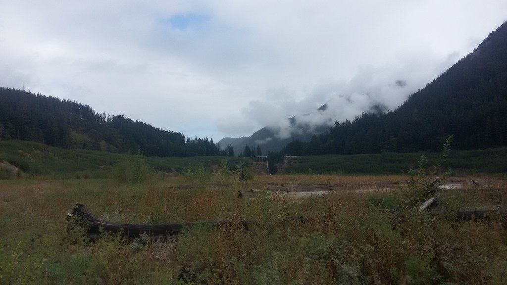
The roadbed is fairly moderately graded for this hike, though the last push up to the overlook is long and pretty steep. The peace and quiet of the valley and the impressive views of the mountains above are their own reward.
Once at the interpretive area and former dam site, get your photos and enjoy the sounds of the river, the sights of the clouds snagged in the trees, and the fresh clean smell of pines here before heading back.
 Trailhead


