

Prior to Mount St. Helens’ 1980 blast, the Green River Trail traversed 10 miles of ancient forest. Local conservationists, seeking to protect the valley from Forest Service road building and logging, named it the “Valley of the Giants.” After the eruption, only 4 miles of big trees remained standing. Today that section of the "Valley of the Giants" is protected in the Mount St. Helens National Volcanic Monument, and the threat now is a potential open pit copper mine upstream on the slope of Goat Mountain.
The Green River Trail provides a chance to walk in quiet, shady forest under giant Douglas-firs and western red-cedars that have survived the ages.
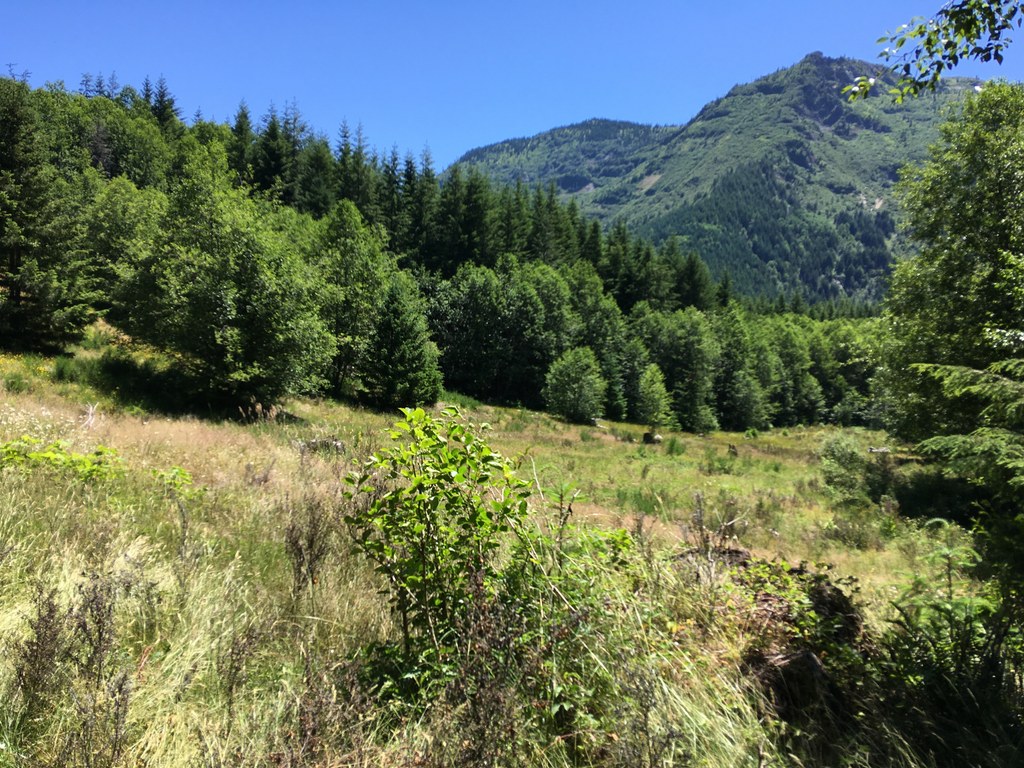
Starting in a volcano blast area that was salvage logged and replanted in Douglas-fir monoculture, the trail follows the Green River west down the glacier-carved valley. In 0.3 mile, the trail passes a waterfall viewpoint becoming obscured by recovering forest, now more heard than seen. At 1.1 miles, the trail traverses a brushy opening with views up to the surrounding slopes of Goat Mountain and the Mount Margaret Backcountry. It passes the first (dry) campsite on the right at 1.2 miles. The trail descends briefly to river level at 2.1 miles where there is access to water.
The trail then traverses the volcanic blast “fringe” where trees were killed by the heat but not blown over. White snags are being obscured by naturally recovering forest. At last, at 2.6 miles, the trail enters the deep shade and filtered light of the ancient forest. The trail makes a long descent down to Minnie Lee Creek, crossed on a bridge, and reaches river side campsites at 3.6 miles. These camps make a good lunch spot. Listen for kingfishers and dippers, and take a look in the river’s pools for native cutthroat trout. A boot path across the trail from the first campsite goes to Minnie Lee Falls, a potential side exploration.
Don’t turn around yet. The biggest of the ancient trees occur along the next 2 miles of trail. The trail stays fairly level on a bench above the Green River, which can be heard at times rushing downstream. The trail crosses several burbling tributary creeks on wood bridges.
At 5.8 miles, the trail reaches the signed junction with Vanson Ridge Trail 213A. This is a good turn around spot. Head back the way you came.
WTA Pro Tip #1: The Green River Trail continues down river past more big, ancient trees for another 3 miles, ending at a private logging road at the monument boundary. Access from this end requires a timber company pass to get behind locked gates.
WTA Pro Tip #2: This is elk country. Expect to see lots of elk sign, and perhaps glimpse the elk themselves.
WTA Pro Tip #3: Sleep under big Douglas-fir and western red-cedars by camping at the Forest Service’s Iron Creek Campground back on Forest Road 25 about a mile past the turn for Forest Road 26. Reservations are recommended for weekends.

 Trailhead


